I. Intro
Date: 10/30/2023
We used Skydio 2+ and DJI M210 to build the 3D model of a building.
The address is here: 1102 Endeavour Dr, West Lafayette, IN 47906
II. Compare equipment and ease of use
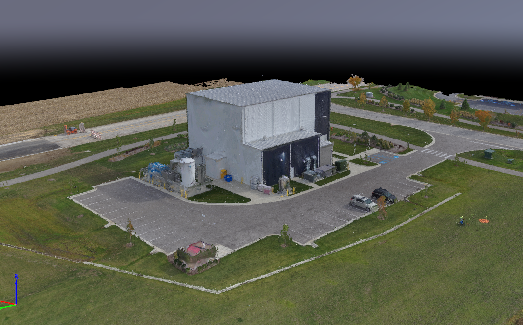
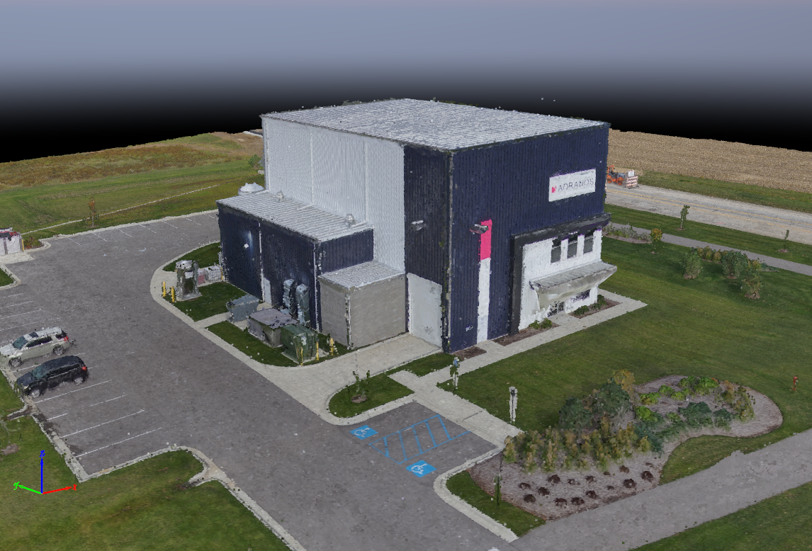
In this lab, two UAVs were used: Skydio S2+ and DJI M210. Skydio has 22 minutes flight time on each battery, but the mission needed 3 batteries. The advantage of Skydio was that the mission can be continued after changing the battery. It remembers where the previous flight ends. It has a great obstacle avoidance system, which allowed it flying very close to the building and taking high quality pictures. About 1200 pictures were taken, and you may think the 3D model would be super detailed. However, that’s not the outcome. The 3D model generated by Pix4DMapping doesn’t have any details. The surface texture is messed up, and we can only see a cube.
Flying grid pattern with M210 was easy, but the exposure kept changing when flying side walls due to the black-white color change. The “fix exposure” setting was nowhere to be found, so we had to click the screen to adjust the focus and exposure.
III. Safety concerns
When Skydio was doing the 3D scanning of the building, it also scan the trees near the building at very close distances. The branches were very thin, it looked very easy to crash into trees. The set distance of obstacle avoidance system was greater than the distance between the tip of the branch and the center trunk, so it was close but not hitting the branches.
IV. Results
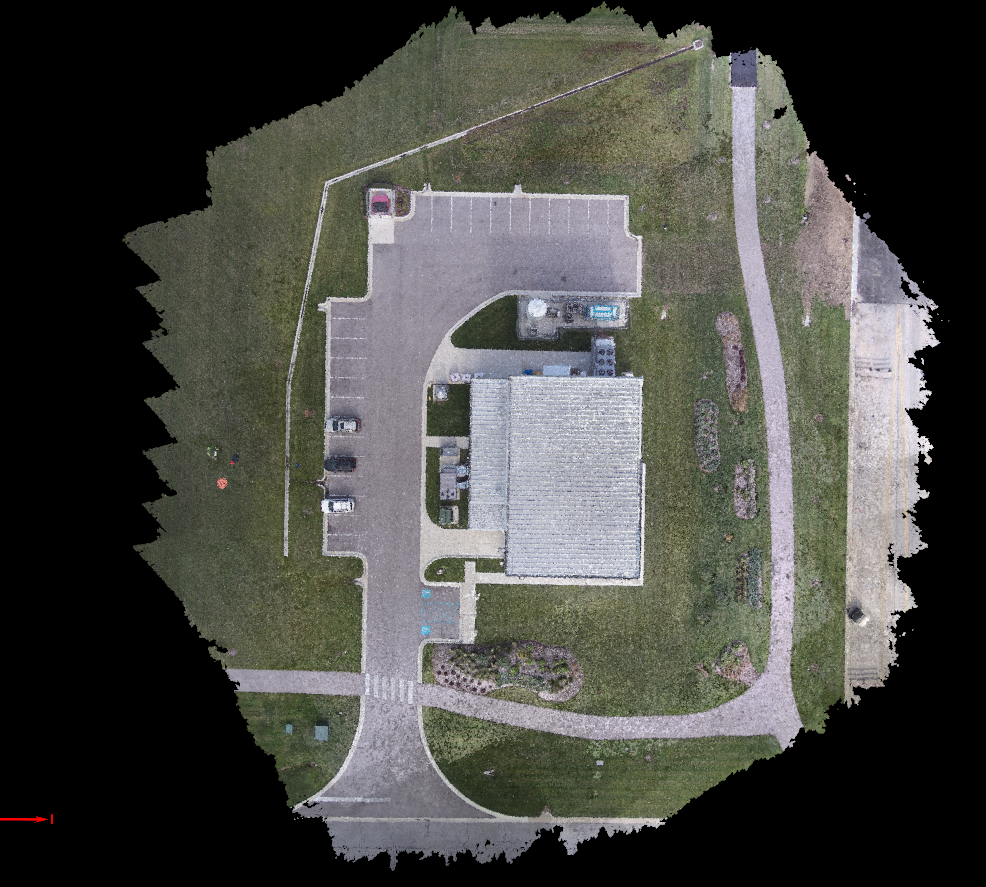
1. M210 Ortho RGB
All data was combined correctly. There are some issues at the bottom of the image due to the light condition. The cloud sometimes blocked the sunlight. Overall, the shadow and light didn’t affect the image quality by much.
2. M210 Otrho IR
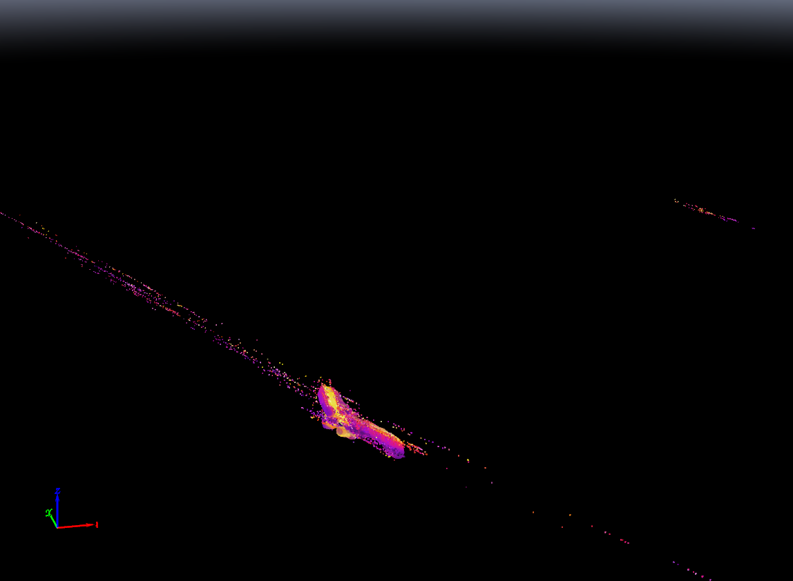
It’s either Pix4d or we didn’t do it correctly. The only thing visible is just the warm color blocks. This picture is the screenshot from Pix4DMapping, other wise I would be just showing a 20 pixel wide orange line at the lower left corner.
3. M210 3D RGB
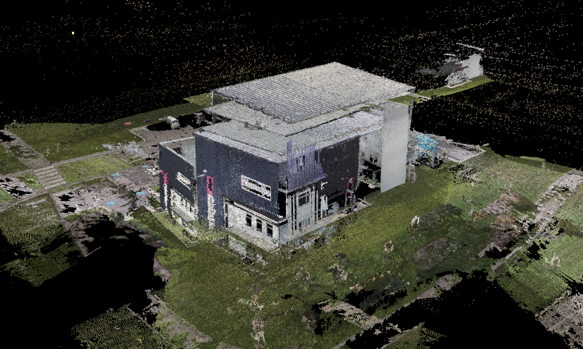
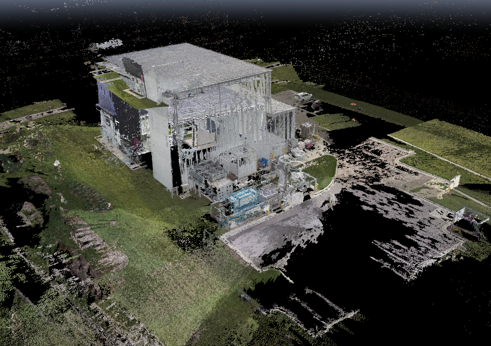
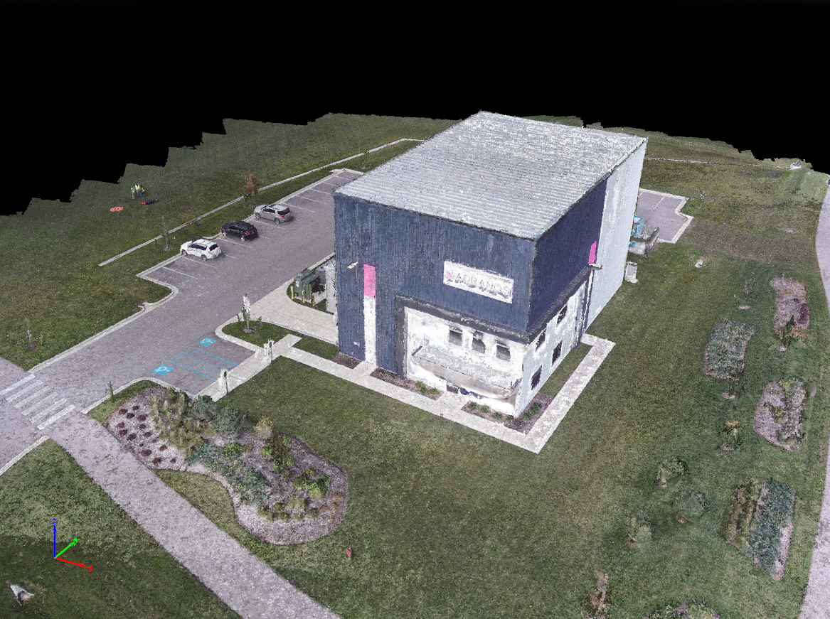
Pix4DMapping only put the data together partially correct. The general shape is visible, but it’s missing a lot of details, and the lawn is flying in the sky. The picture from ortho and point cloud even provides a better 3D model quality.
3D from Pix4DMapping 3D modeling.
3D Model from ortho and point cloud:
4. M210 3D IR
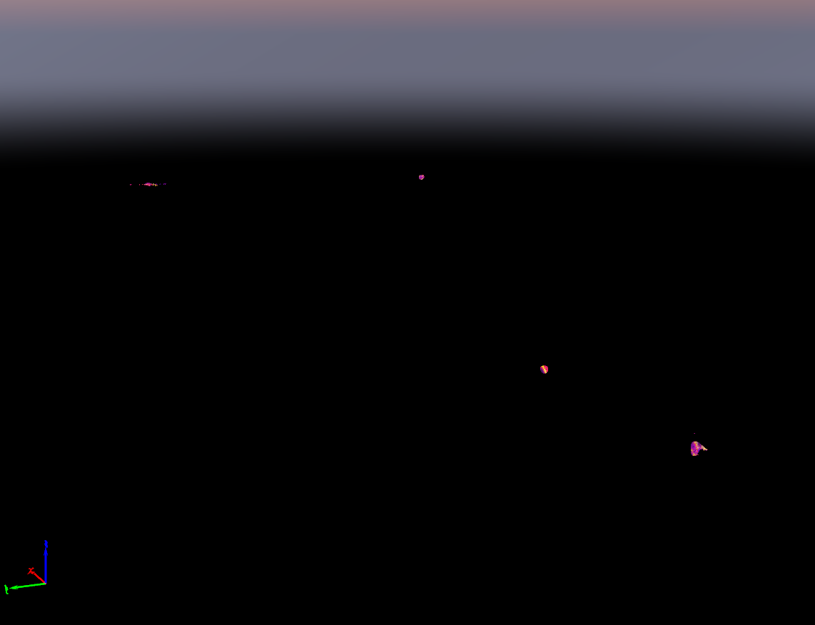
Still it’s either Pix4D or us. It’s just showing random small red-orange blocks. We need more time and tests to figure out what’s the right way to do it.
5. Skydio Ortho RGB
Compared to ortho made by M210, the ortho image from Skydio has a more even and smoother light transition. The only visible shadows are the trees near the road and the shadow behind the building, and they are so bright that they don’t create pitch black chunks on the image.
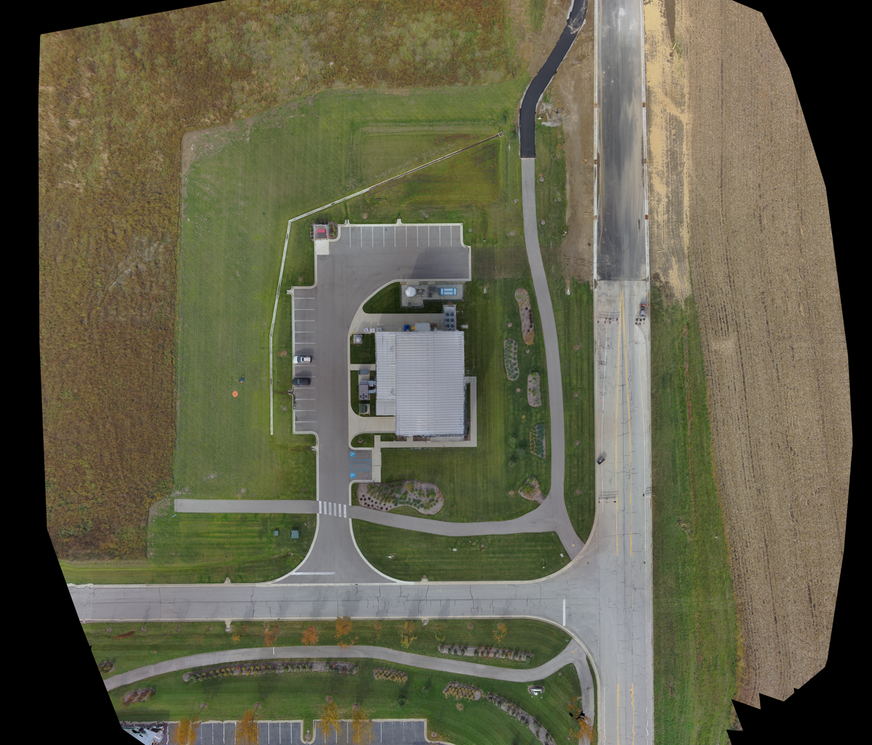
6. Skydio 3D RGB
The model generated from skydio has a better overall quality than M210 generated, except the east side. The tanks and equipment at the back of the building are model detailed although the tank is twisted. But still it’s better than the outcome from M210. Same as M210, the model generated from ortho and point cloud has a better quality.
3D Model from 3D processing:
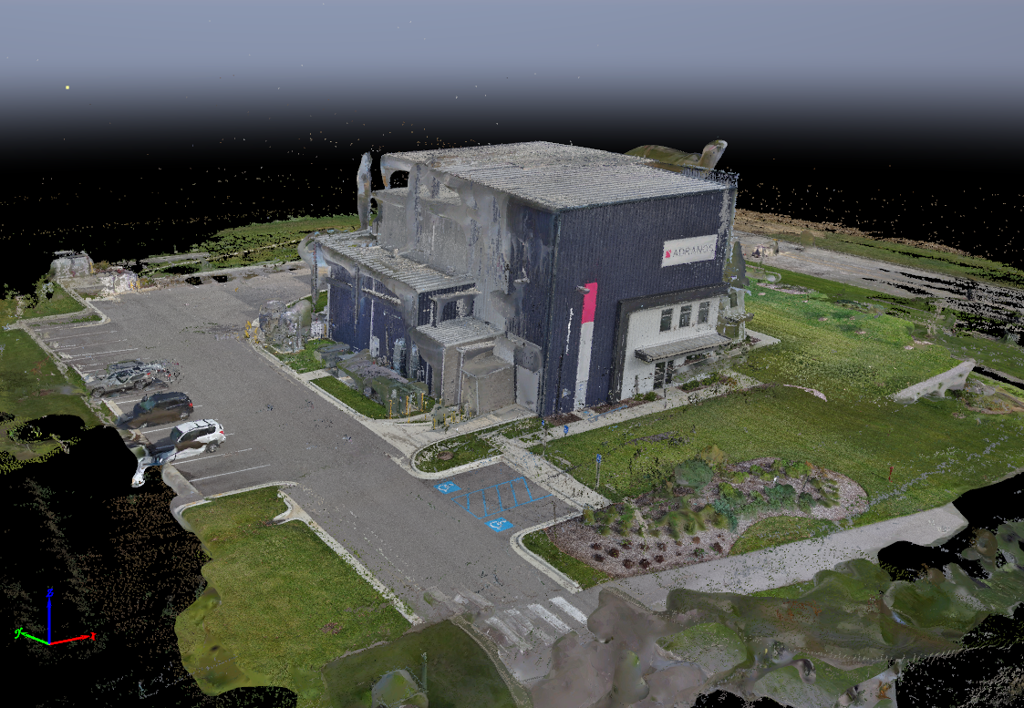
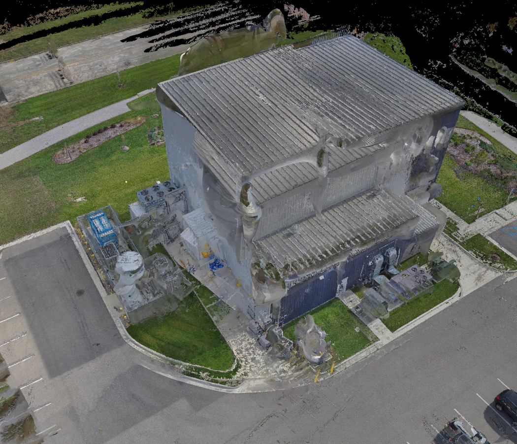
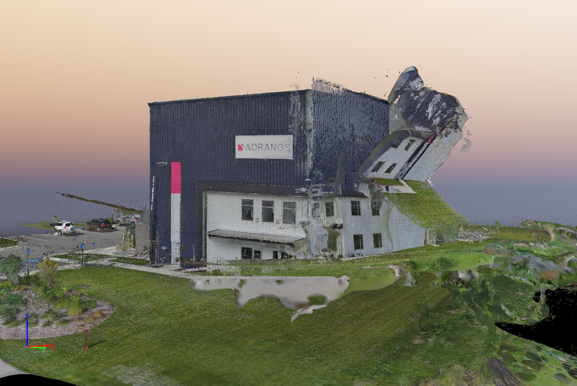
3D model from ortho and point cloud:
