I. Intro
Date: 11/07/2023
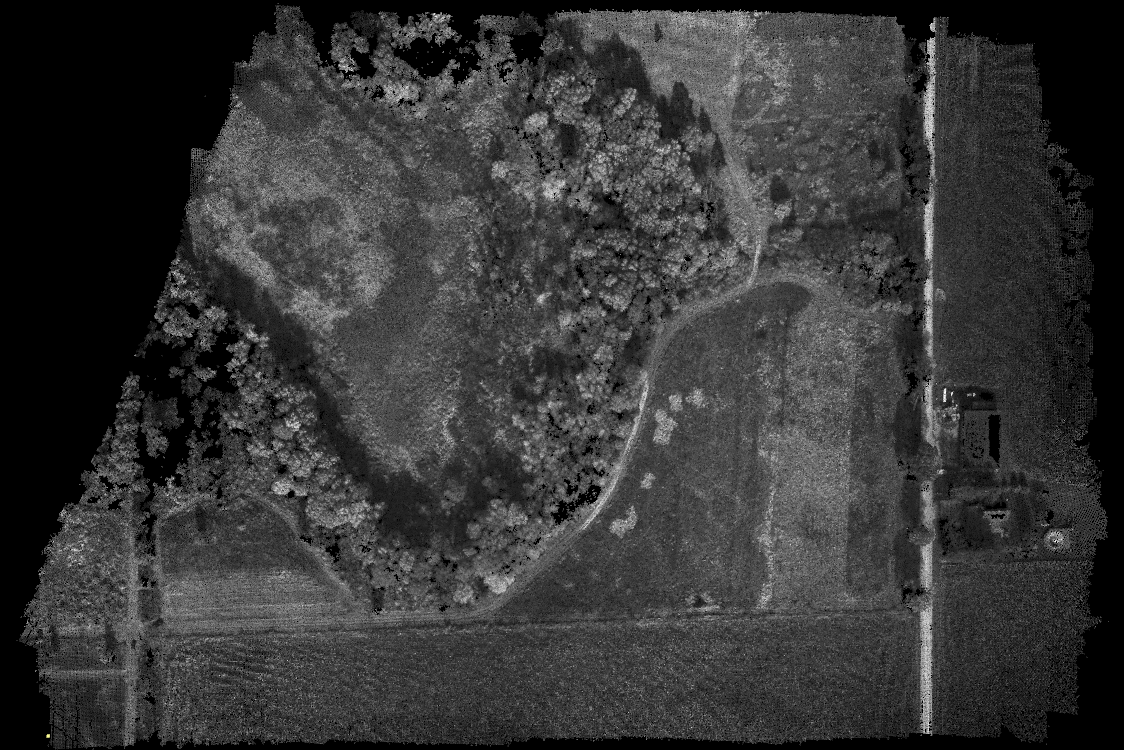
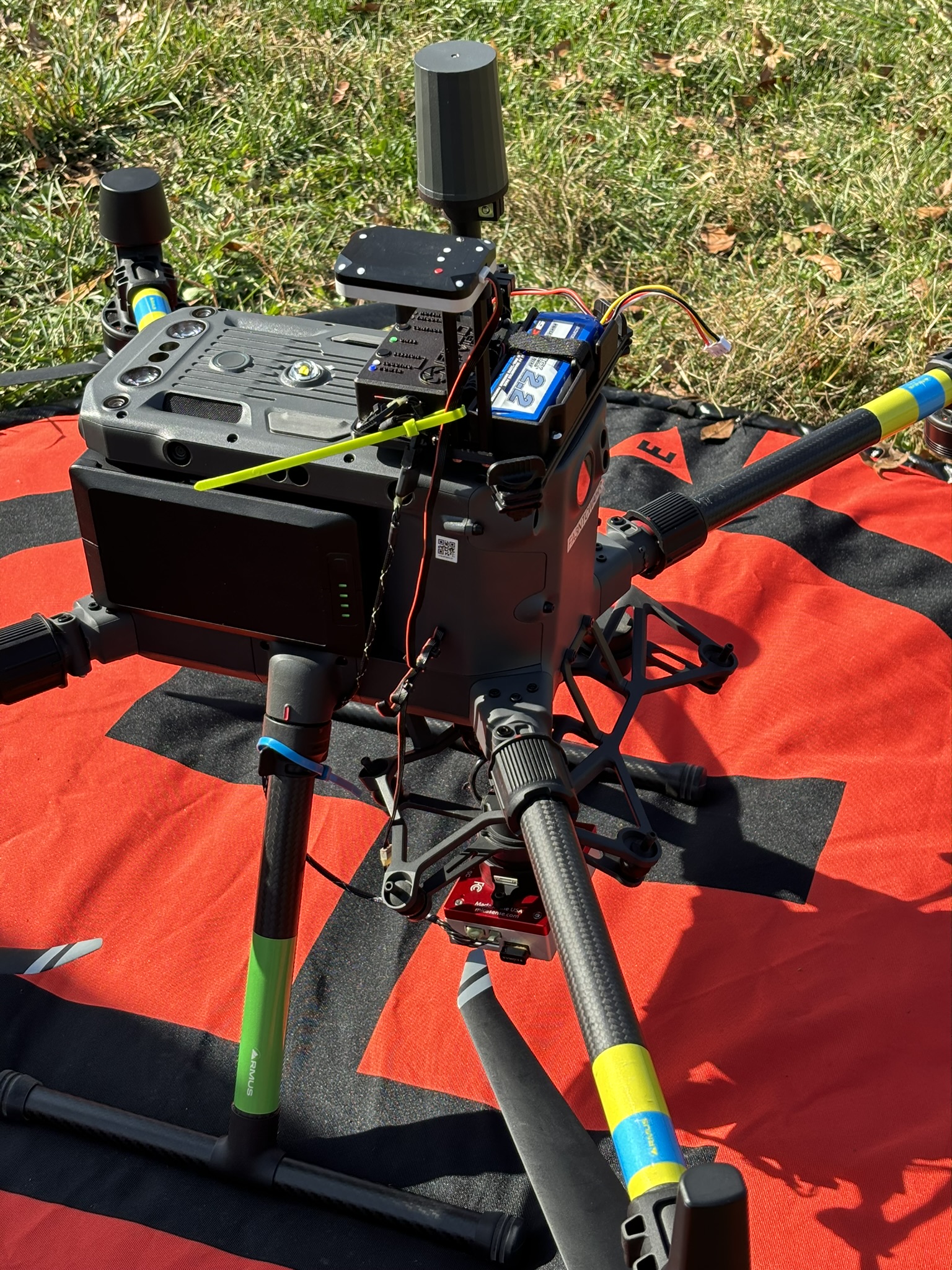
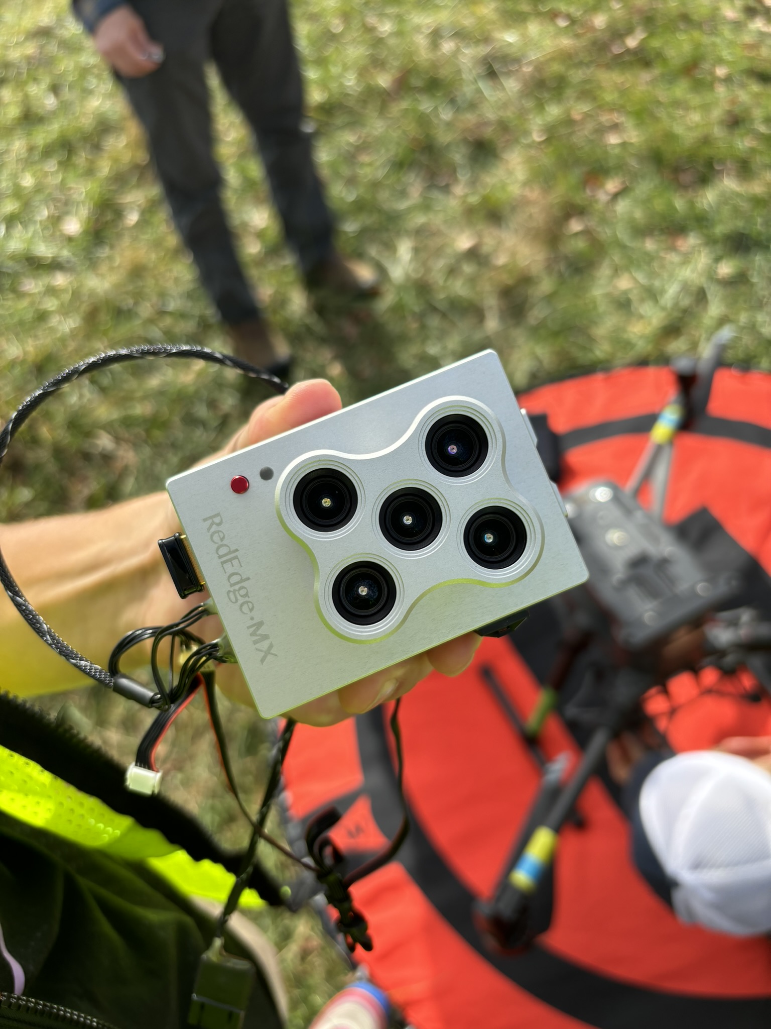
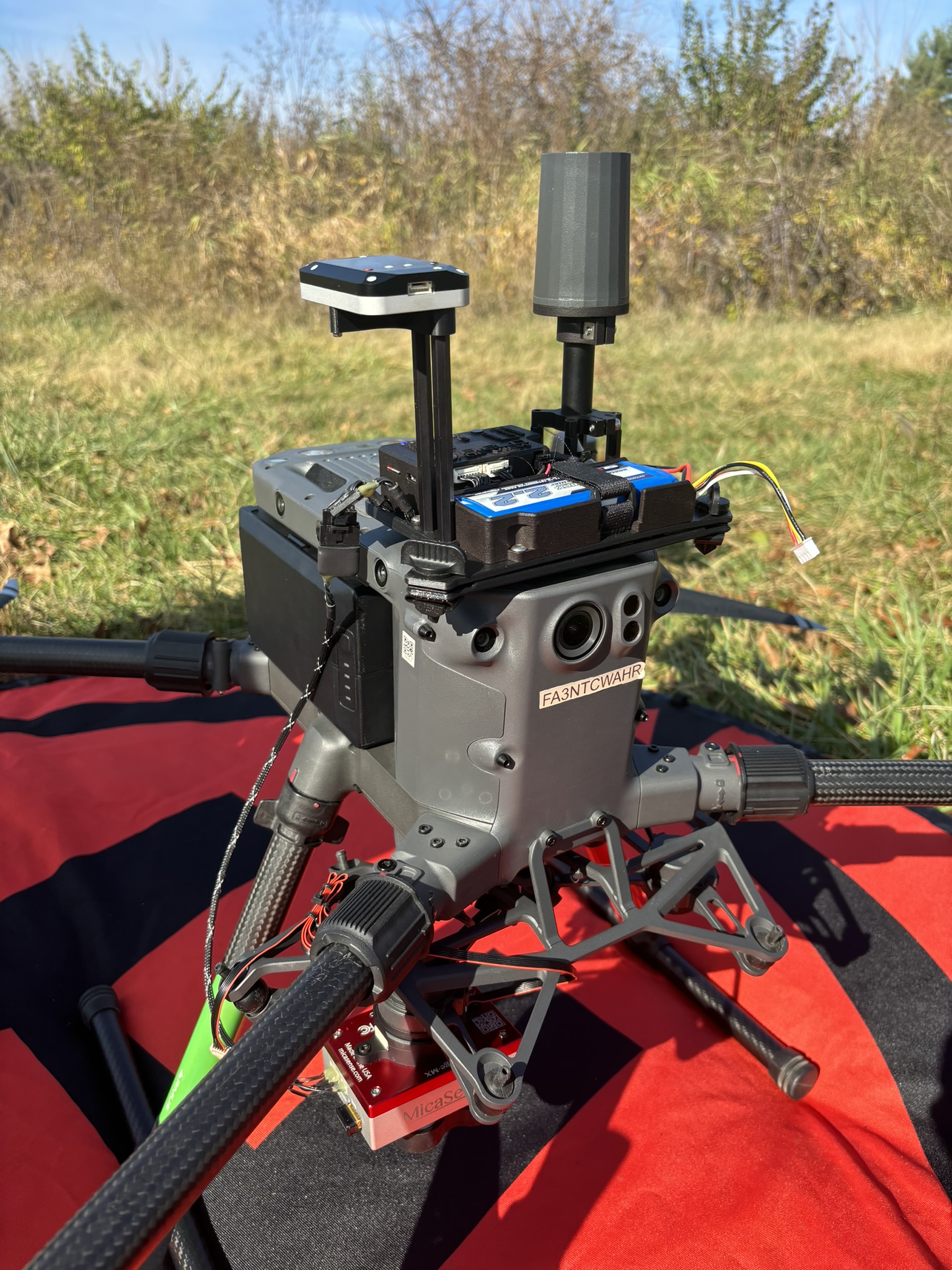
We used M300, Rededge Mica Sense, and Field of View PPK to scan part of PWA.
II. Site Condition
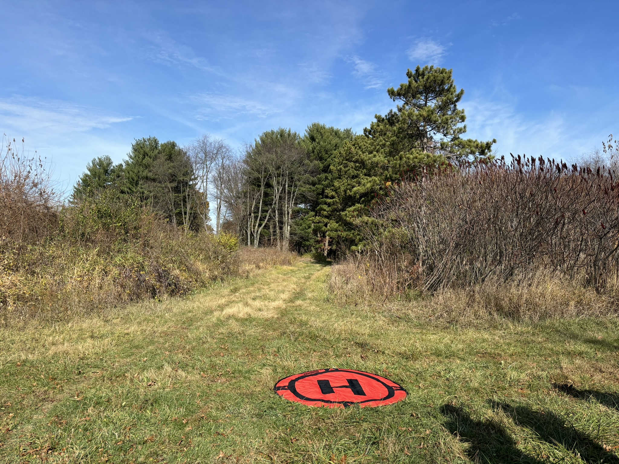
Location: 40.44908044 N, -87.05057767 W, Purdue PWA
III. Flight Information
A mapping mission was created on the M300 controller, covering the pond and trees. Over lap was set to 90% because the IR camera was fixed on M300 and unable to adjust the angle. After the mission was confirmed and uploaded to M300, the M300 took off by itself and started the mission.
IV. Reflection
- Compare equipment and ease of use.
The PPK equipment and the camera was easy to install, but the wire connection between them needs a better solution. We had to use zip ties to hold the wires to the airframe so it won’t get cut by the propellers.
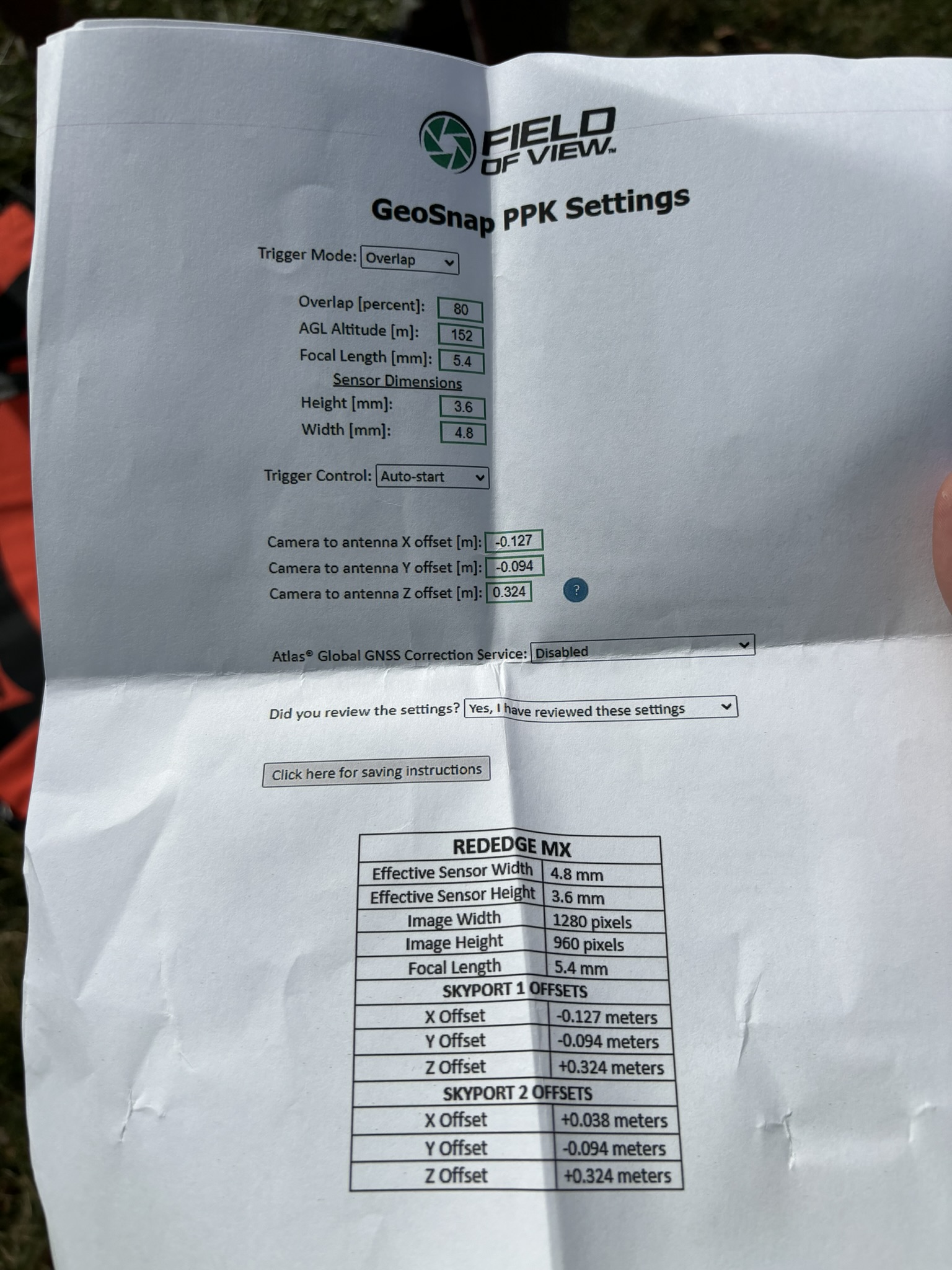
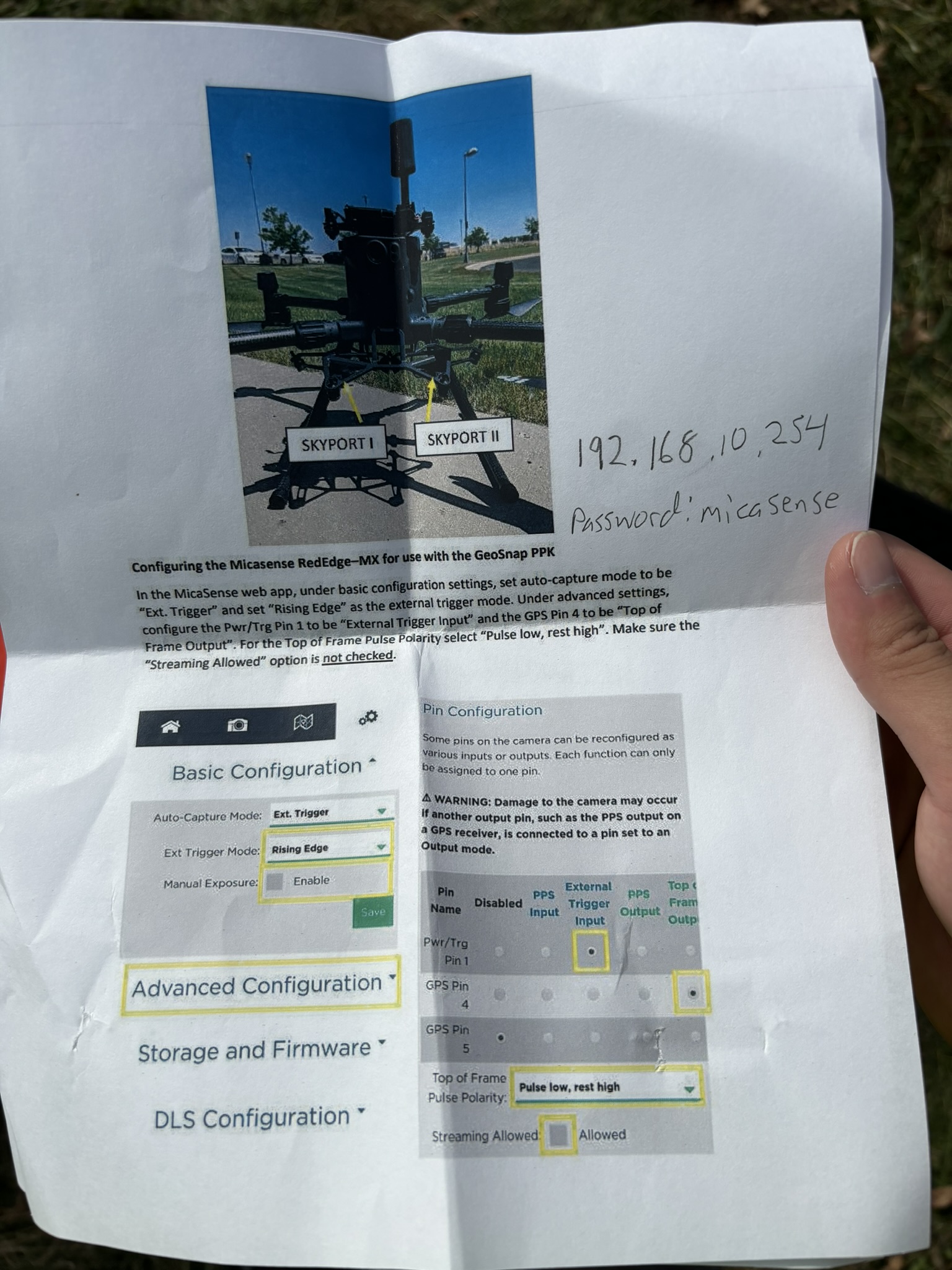
The software setup was lengthy and complicated. We had to set specific settings correctly inorder to make it work.
The mapping mission software was easy to use, including draw the polygon, overlap percentage, maximum flight altitude, fly speed.
- Safety concerns.
There were trees right next to the take-off site, so we put the landing pad at the center of the cross. Also, the positioning system must be precise to land it properly. The landing process was monitored all the time to avoid the branches.
- Quality of imagery.
Since 90% of overlap was used, the pictures can be combined together without any visible cracks or shifts. The camera was focused on the ground, including the trees, grass, dirt road, and are clear to see.
