I. Intro
11/21/2022
The Earth is not a perfect sphere. It has terrains that make the distance from the surface to the center of the “sphere” vary from location to location. We introduce a sphere datum that is sometimes below the terrain and sometimes above the terrain and adjust the height to get the correct location.
II. Ground Control Point (GCP)
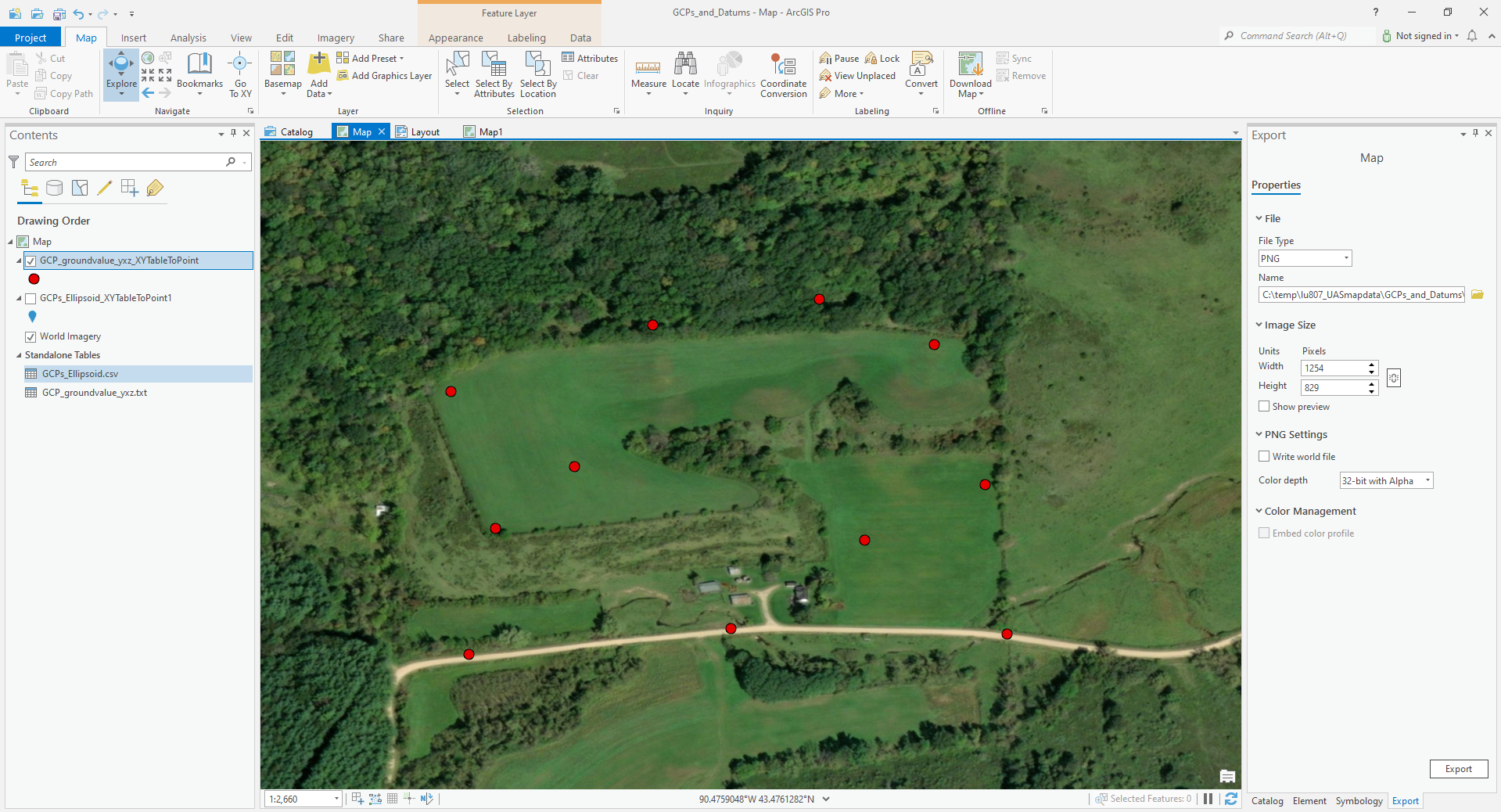
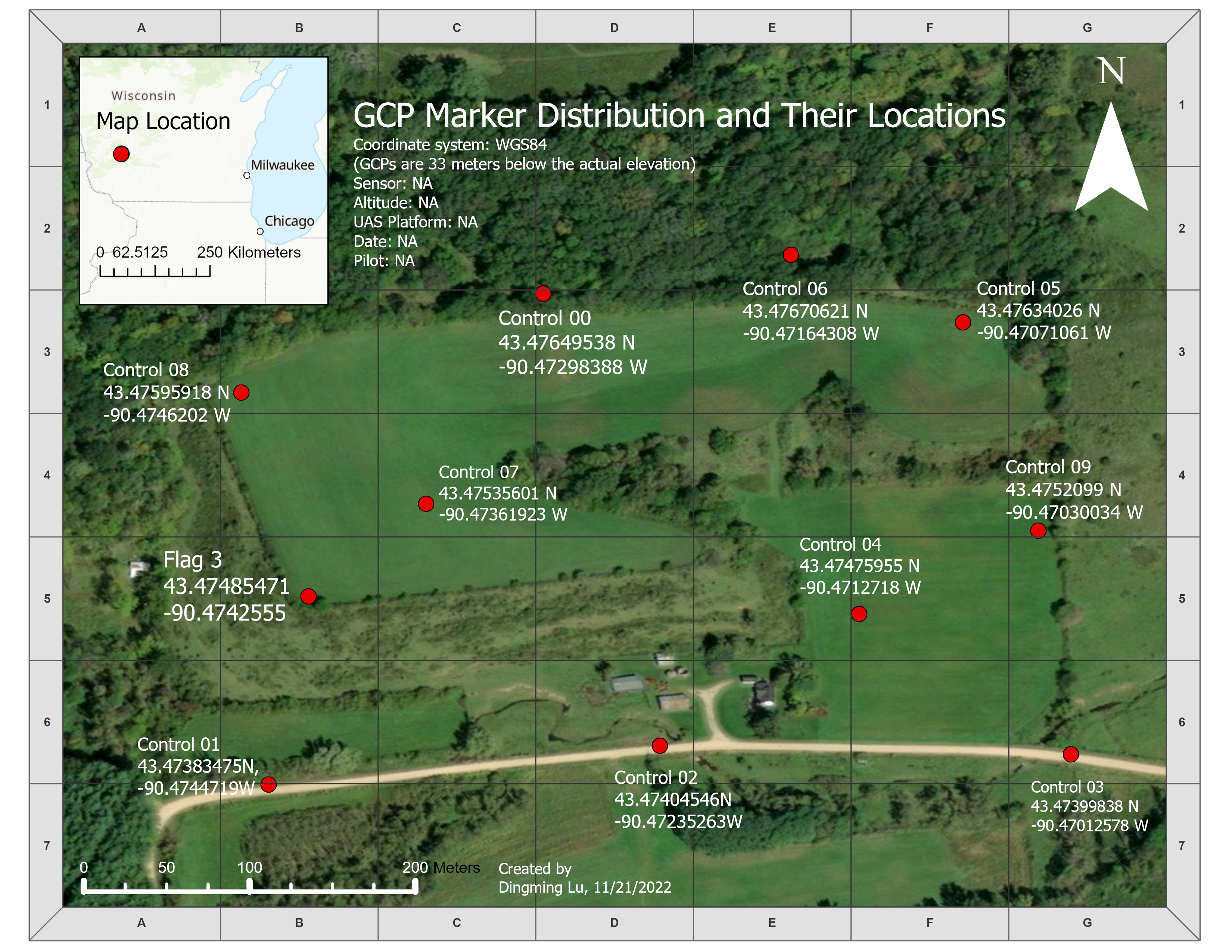
A series of GCPs were imported to the ArcGIS Pro. By comparing the GCP altitude and the actual altitude, there was a clear difference. The GCP altitudes are about 31 meters below the actual terrain on average (column B). After the GCP altitudes are adjusted with GEOID12A (column D), the difference is lower (column E).


