I. Intro
Date: 10/03/2022
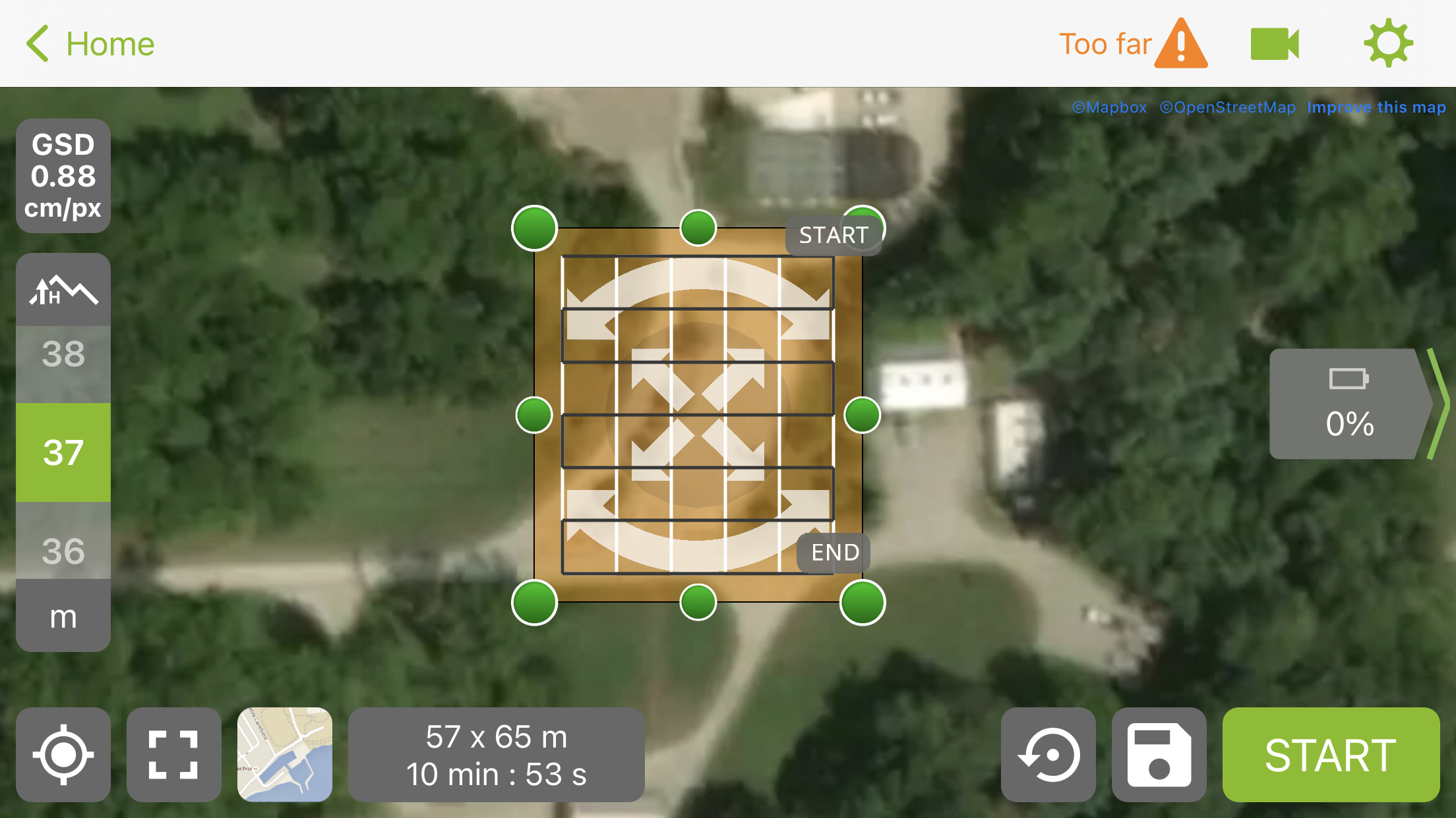
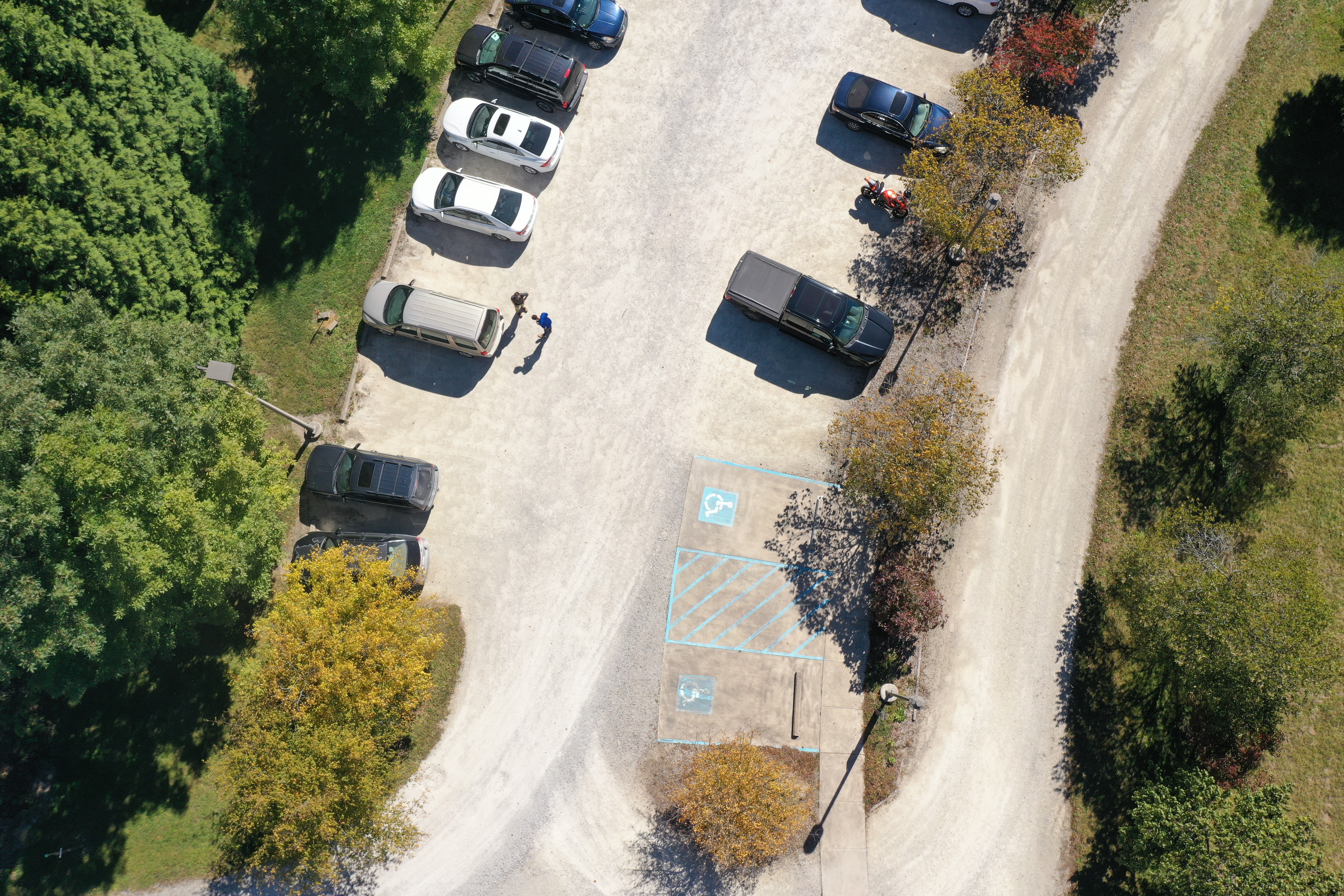
We used Pix4DCapture and DJI Mavic 2 Pro to operate a mission over the parking lot at the Martell Forest.
II. Field Condition
1. Site Condition
The flying site is at Martell Forest. There are tall trees around the parking area.
2. Weather Condition
- Temperature: 20℃, feels hotter because of the high humidity.
- Wind: northwest, 11.1 km/h
- Cloud: 0%

3. Safety Assessment
- The trees are tall, make sure the altitude is above 30 meters
- Sun is bright, and the eyes should be protected by sunglasses.
III. Operation
1. Preparation
Launchpad was placed in the middle of the concrete floor. The transmitter was turned on, paired with the Mavic, and Mavic 2 Pro was powered up and placed on the launchpad. Geofence was disabled, and the storage location was selected to external SD card
2. Flight Details
(1). General Information
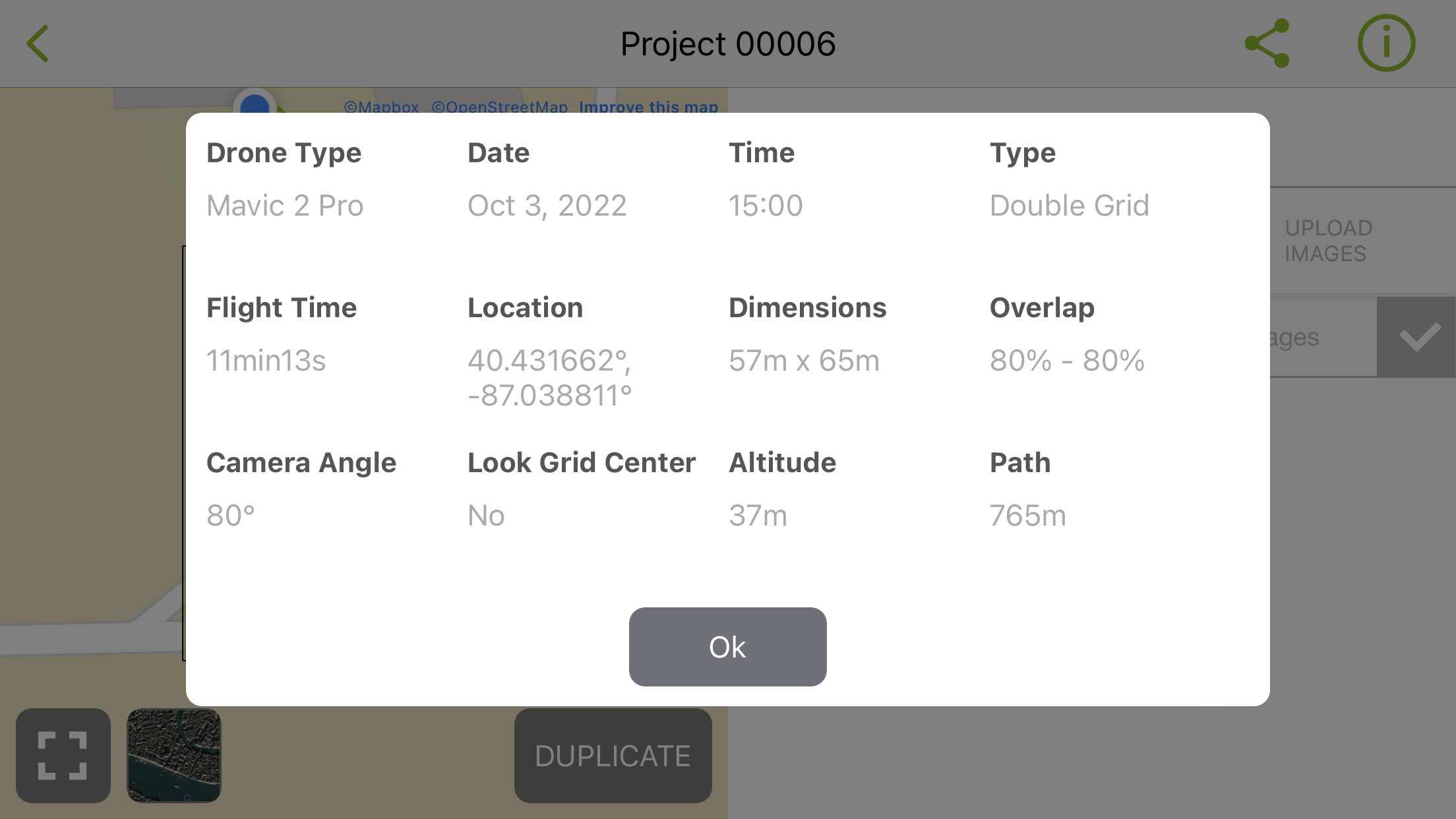
- Location: Martell Forest 40.432129 degree N, -87.038974 degree W
- Vehicle: DJI Mavic 2 Pro AC
- Sensor: DJI Mavic 2 Pro Camera (more detail at https://www.dji.com/mavic-2)
- Battery: DJI Mavic 2 Pro Battery
- Approval # (LAANC/COA/Waiver): NA (below 400 ft AGL in class G)
(2). Flight Information
- Flight Number: 1
- Takeoff Time: 15:00
- Landing Time: 15:11
- Altitude (m): 37
- Sensor Angle: 80 degrees
- Overlap: 80%
- Sidelap: 80%
- PIC: Dingming Lu
- VO: Caleb Gascho, Harrison Guinn

3. Flight Operation
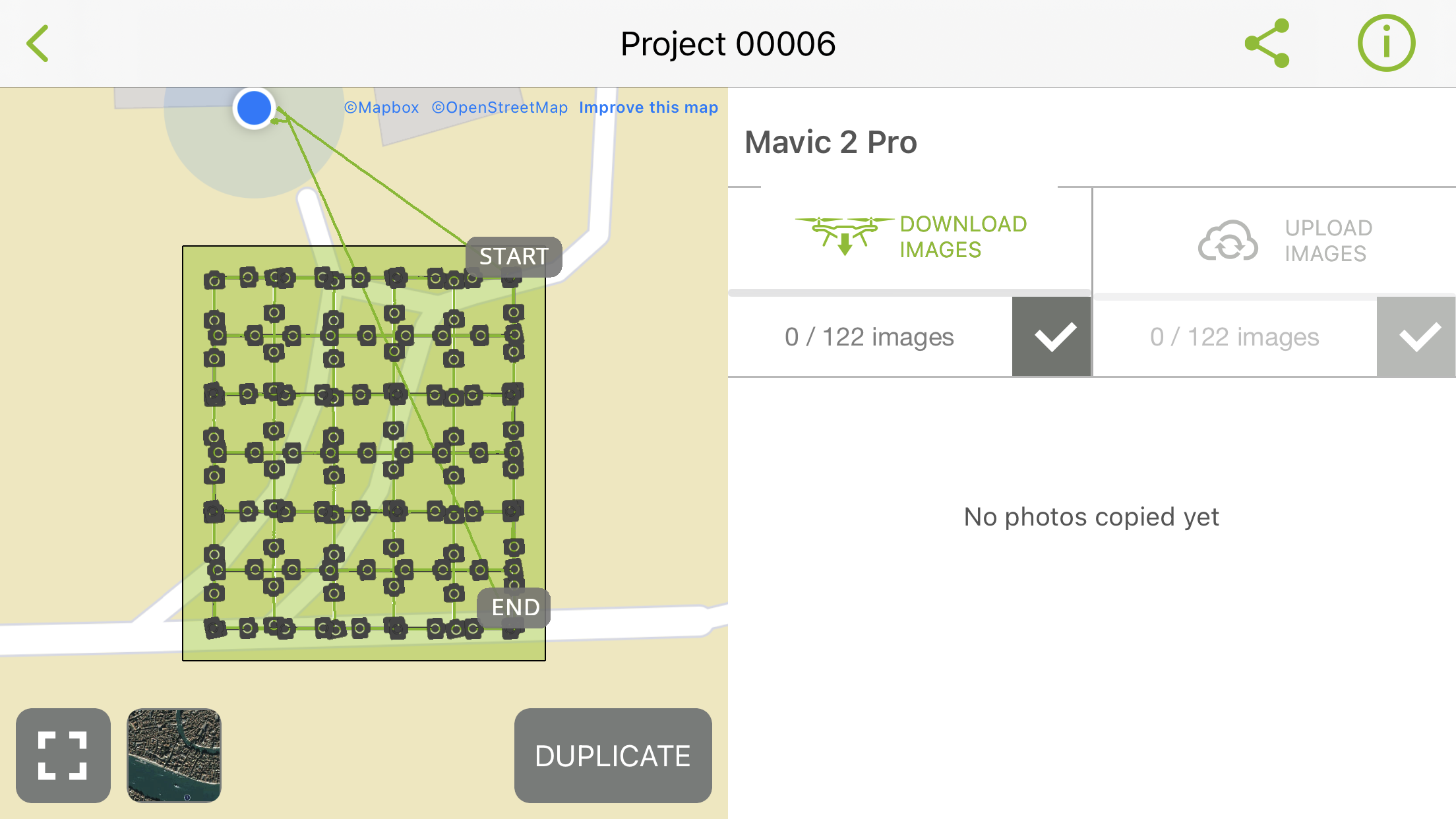
The code on the Mavic and the controller matches, but they didn’t connect, so we did the re-pairing procedure. We were flying the double grid mission covering the parking area. The estimated flight time was 10 min 59 sec, and the actual flight time was about 11 minutes. Since we were flying 122 m last time, and the returning-to-home altitude was same as the missing height, this time it felw to 122 meters after the mission ended and returned to home, not coming back directly instead.


