I. Intro
Date: 08/29/2022
During the first lab, we went out to the field. Since it was the second section of the lab, the preflight check was skipped.
II. Field Condition
A. Site Condition
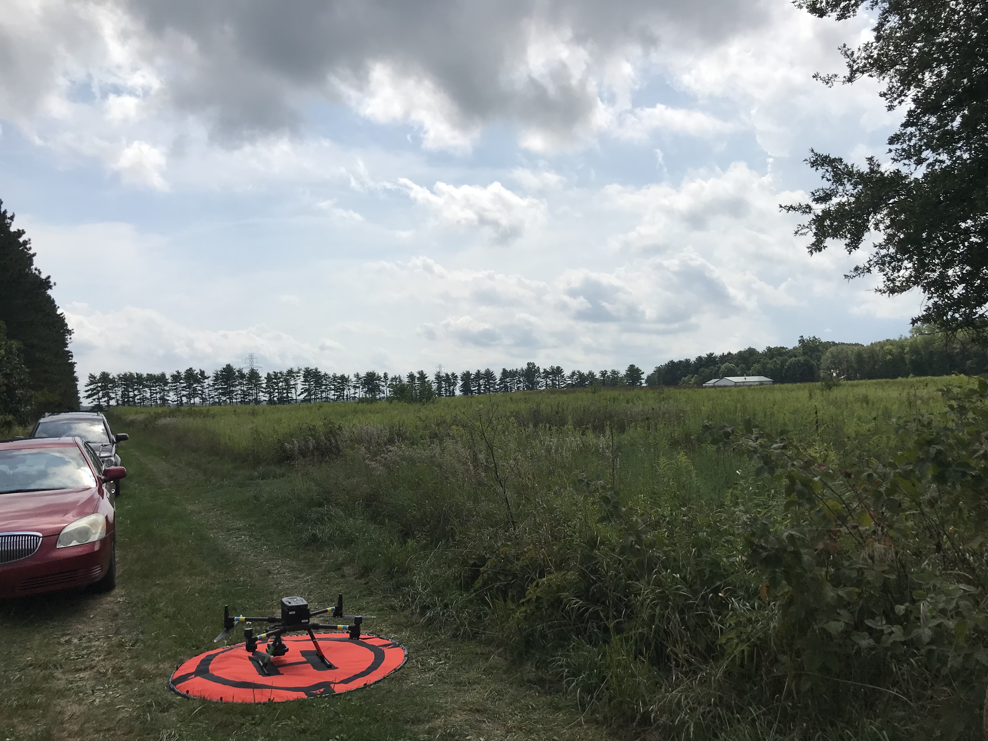
The flying site is at Purdue Wildlife Area. There is a row of tall trees aside of the dirt road, the bushes are about 10 feet tall at the cross, and more tall trees are to the north of the cross. Poison Ivy grows at the corner of the cross.
B. Weather Condition
- Temperature: 32℃
- Wind: southwest gust of wind
- Cloud: 80%, darker and bigger clouds were approaching from the west. The estimated raining time is 18:00, it started raining around 15:40 (right after we packed up).
C. Safety Assessment:
1. The trees are tall, make sure M300 doesn’t fly into the trees
2. Gust wind makes the manual control to be more difficult
3. Poison Ivy is growing nearby, which could cause skin problems if there is contact with the skin.
4. Sun is bright, and the eyes should be protected by sunglasses.
5. The body should be kept hydrated to prevent heat stroke.
6. Safety of the sensor: do not point it toward the sun.
7. Turn the transmitter on first to prevent unexpected rotor and propeller spinning.
III. Operation
A. Preparation
Launchpad was placed in the middle of the dirt road. The transmitter was turned on, and M300 was placed on the launchpad.
B. Flight Details
1. General Flight Details:
- Taking off location (exactly): 40°26’56.3″N 87°03’02.0″W
- Platform: DJI Matrix300
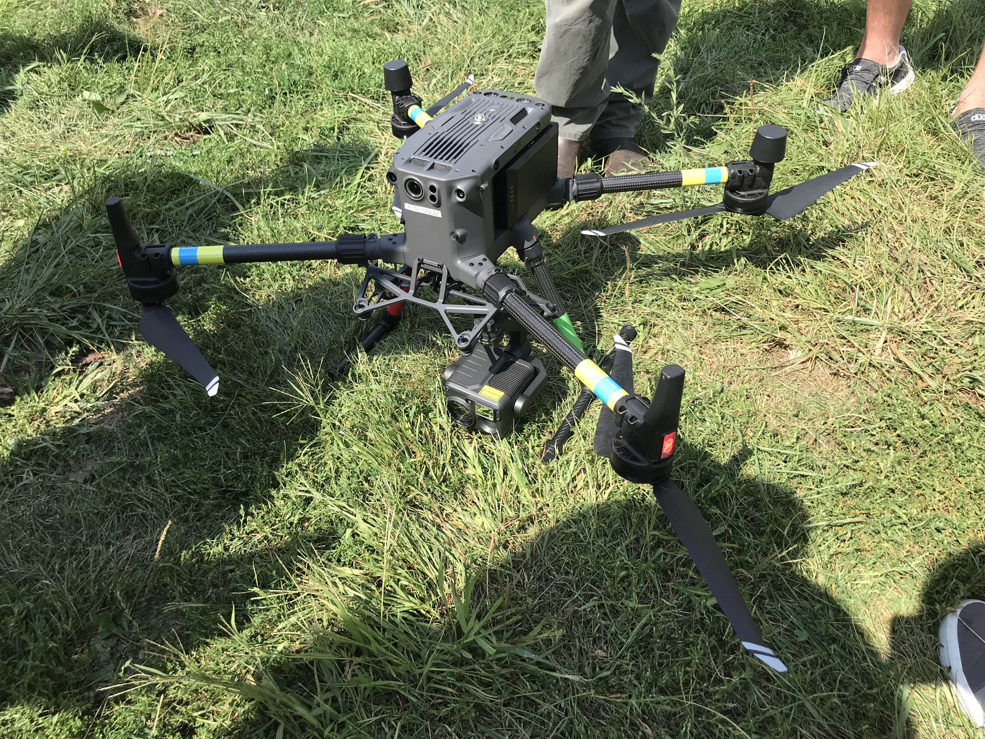
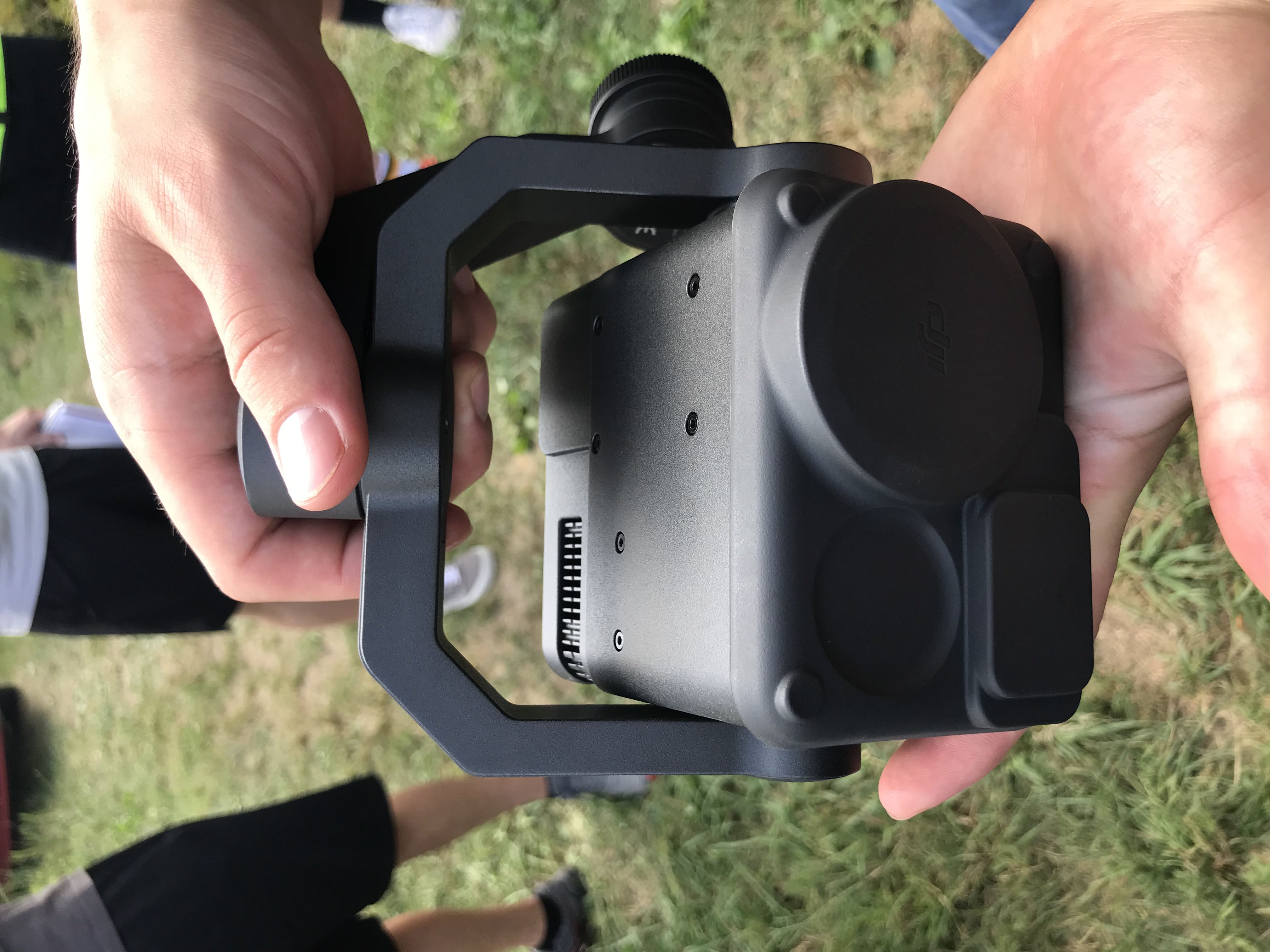
- Sensor: DJI Zenmuse H20T
- Overlap: Lateral: 70%, frontal: 80%
2. First Flight Details
- Mission: Sensor calibration for the center of gravity
- Take-off time: 14:49
- Landing time: 14:51
- Altitude: 30 feet AGL
3. Second Flight Details
- Mission: mapping and scanning an area at PWA
- Take-off time: 15:07
- Landing time: 15:27
- Altitude: 398 feet AGL
C. Flight Description
1. The First Flight
The purpose of the first flight was to calibrate the sensors on the M300, letting it have a better performance in the gust wind condition.
2. The Second Flight
After the flight plan and the sensor settings were checked, M300 was taking off manually, hovering for a short time, and heading to its first waypoint. After M300 started the mission, we can hear the sound of the shutter. M300 could only be seen when it was close to our location.
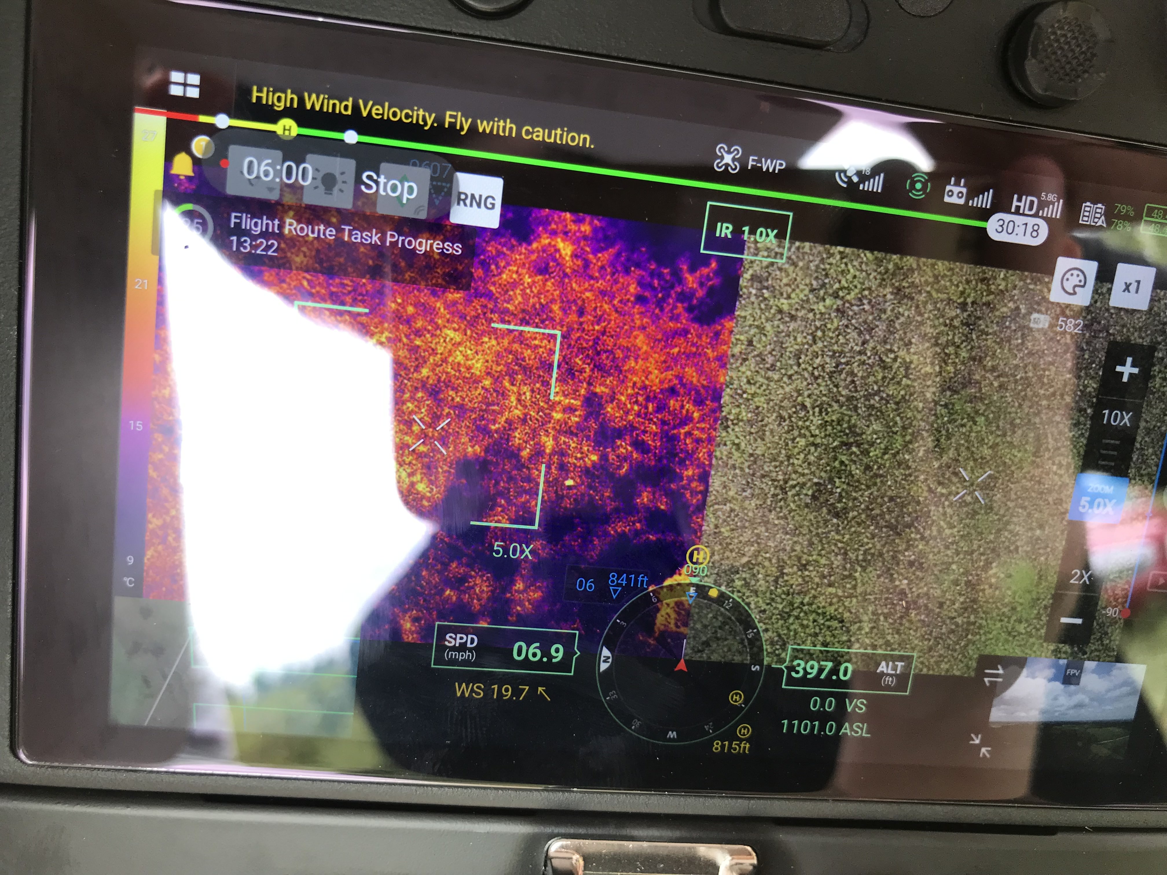
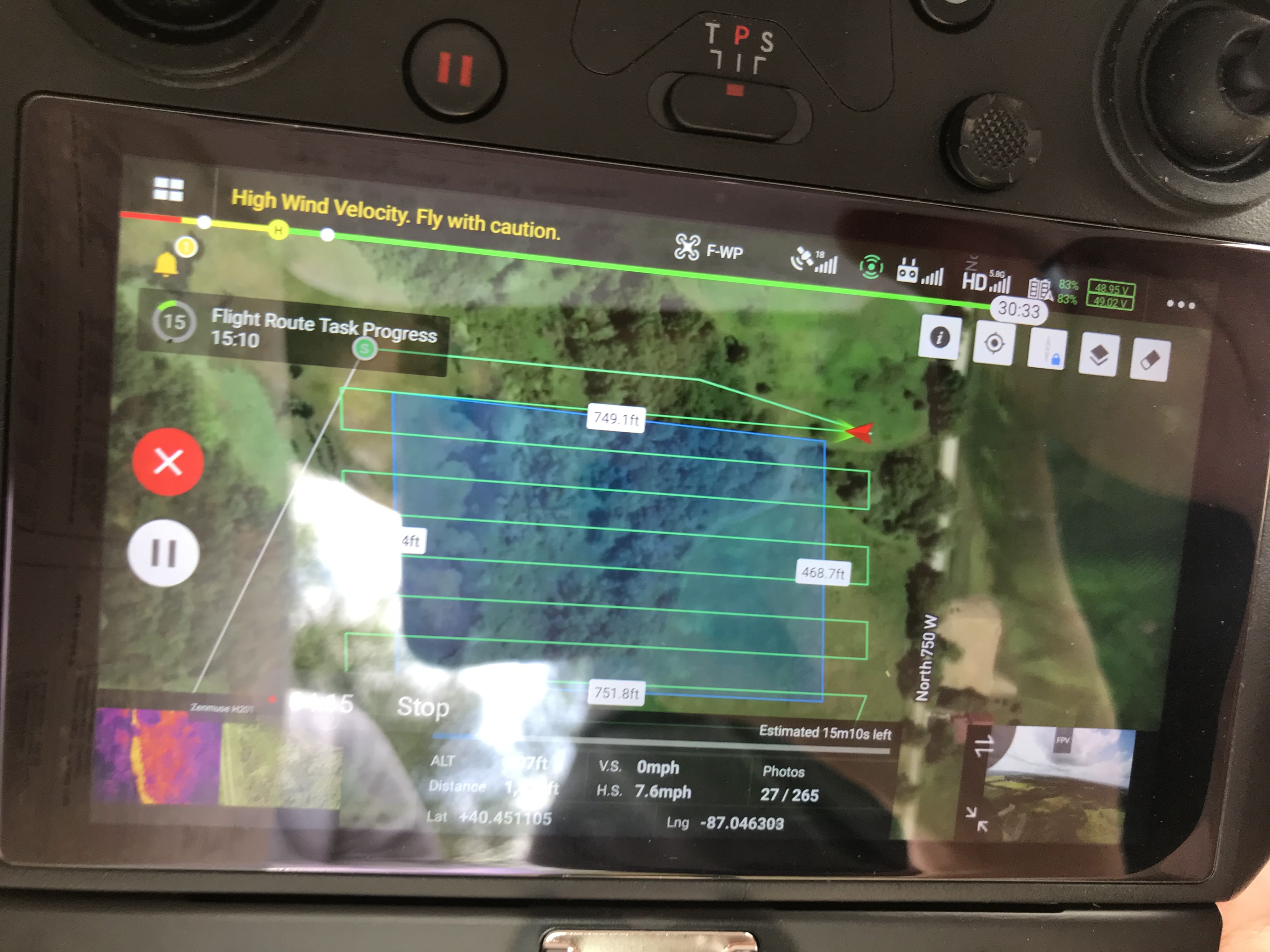
The mapping area was a rectangle (Figure 3.3.2), with a zig-zag flight path. Flying with the speed of 7.6 miles per hour in the horizontal direction, the expected total photo taken was 265, and the actual total number of photos is 280. Overlap was set to 70% lateral and 80% frontal so that the completeness of the scanning of the area is guaranteed and meanwhile the time required is relatively short.
For some reason, M300 started to wobble, and Prof. Hupy landed it manually about 50 meters to the east of the cross.
IV. Conclusion
Before the UAV is taking off, the flight plan has to be made in the lab, where the words and the images on the screen are clear to read and the decision-making is not in a hurry. In this mission, M300 landed safely and brought back the mapping images. It could be the wind that was affecting the stability of M300. Although we did the calibration of the center of the gravity, the priority is to bring it down in an emergency situation.