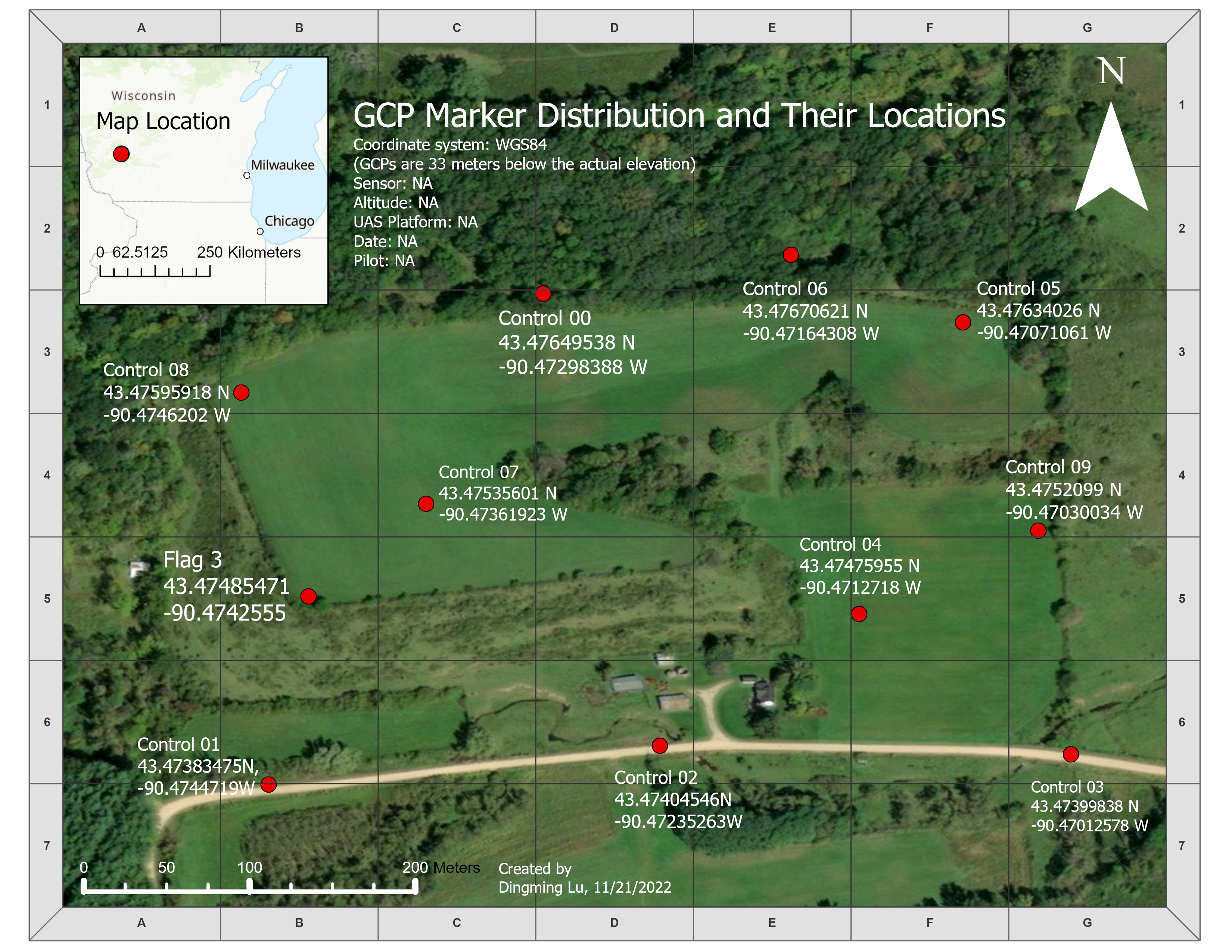
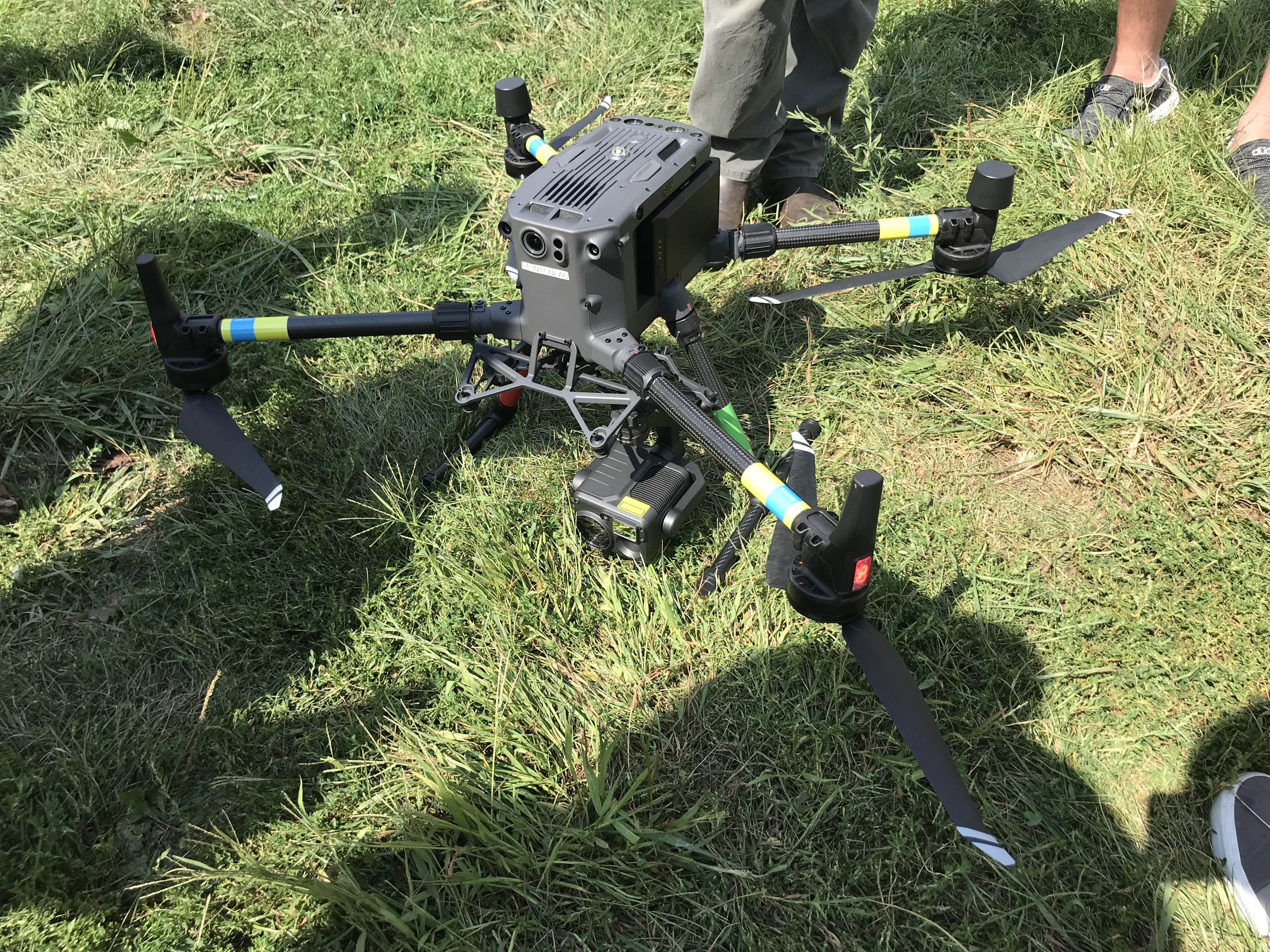
Lab 01 Gathering Data With DJI M300
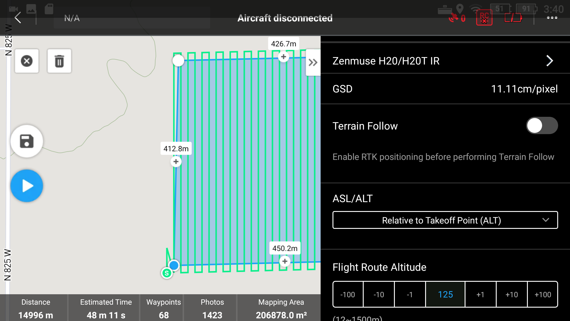
LAB 02 Mission Planning with Google Earth, DJI Pilot 2, and Pix4DCapture
LAB 03 Mapping with Pix4DCapture and DJI Mavic 2 Pro
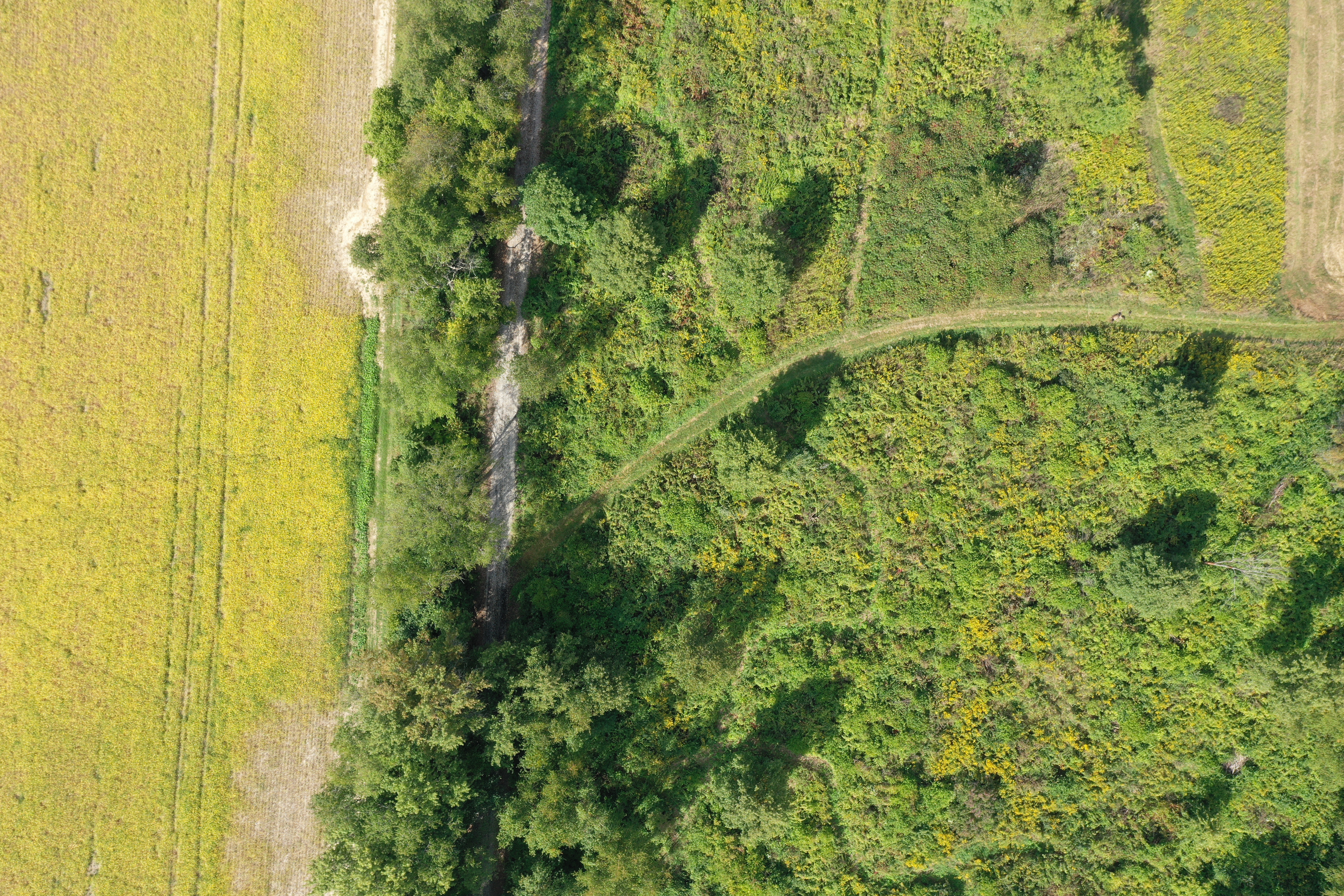
LAB 04 Pix4D Mapping
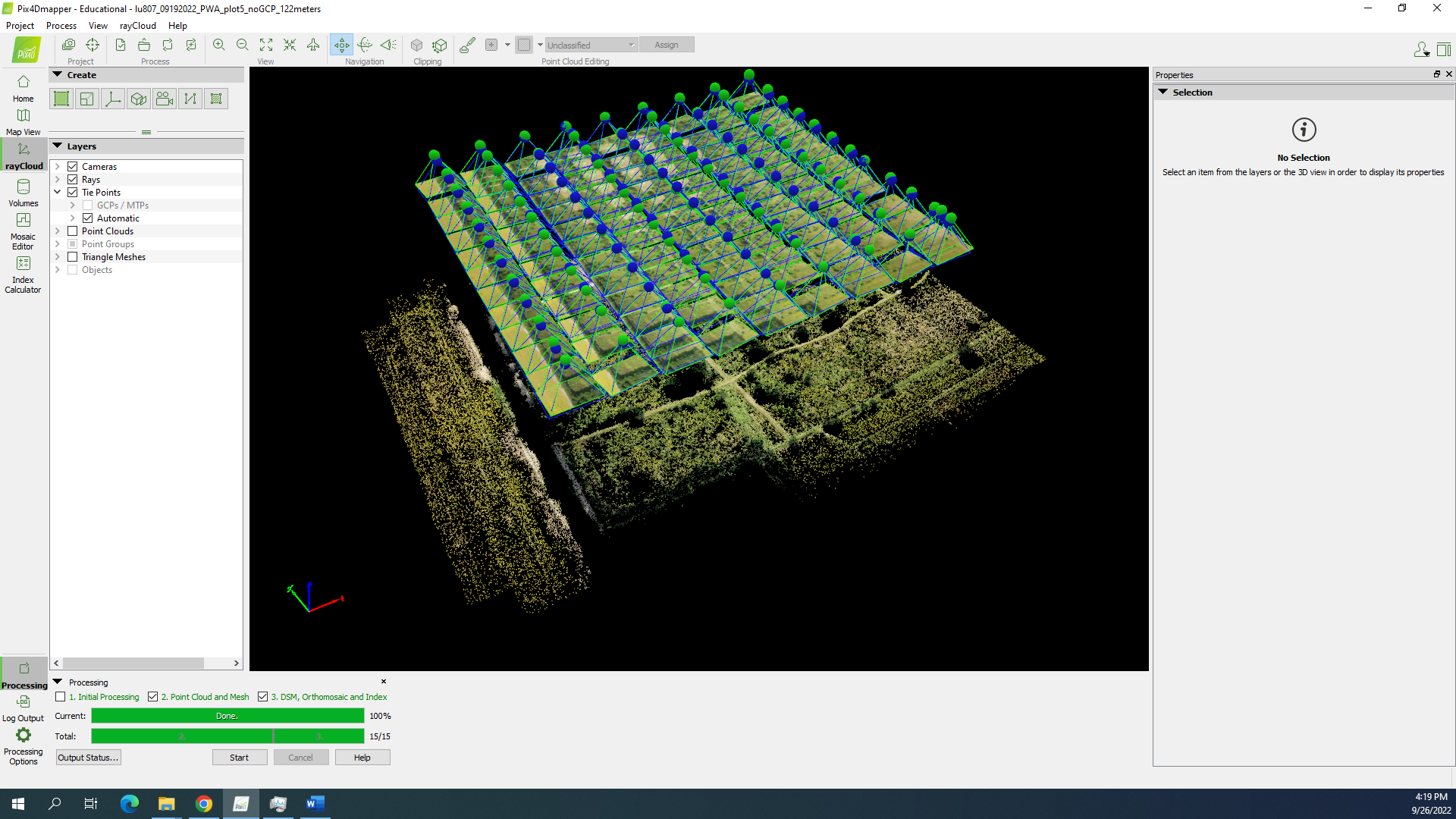
LAB 05 Mapping with Pix4DCapture and DJI Mavic 2 Pro II
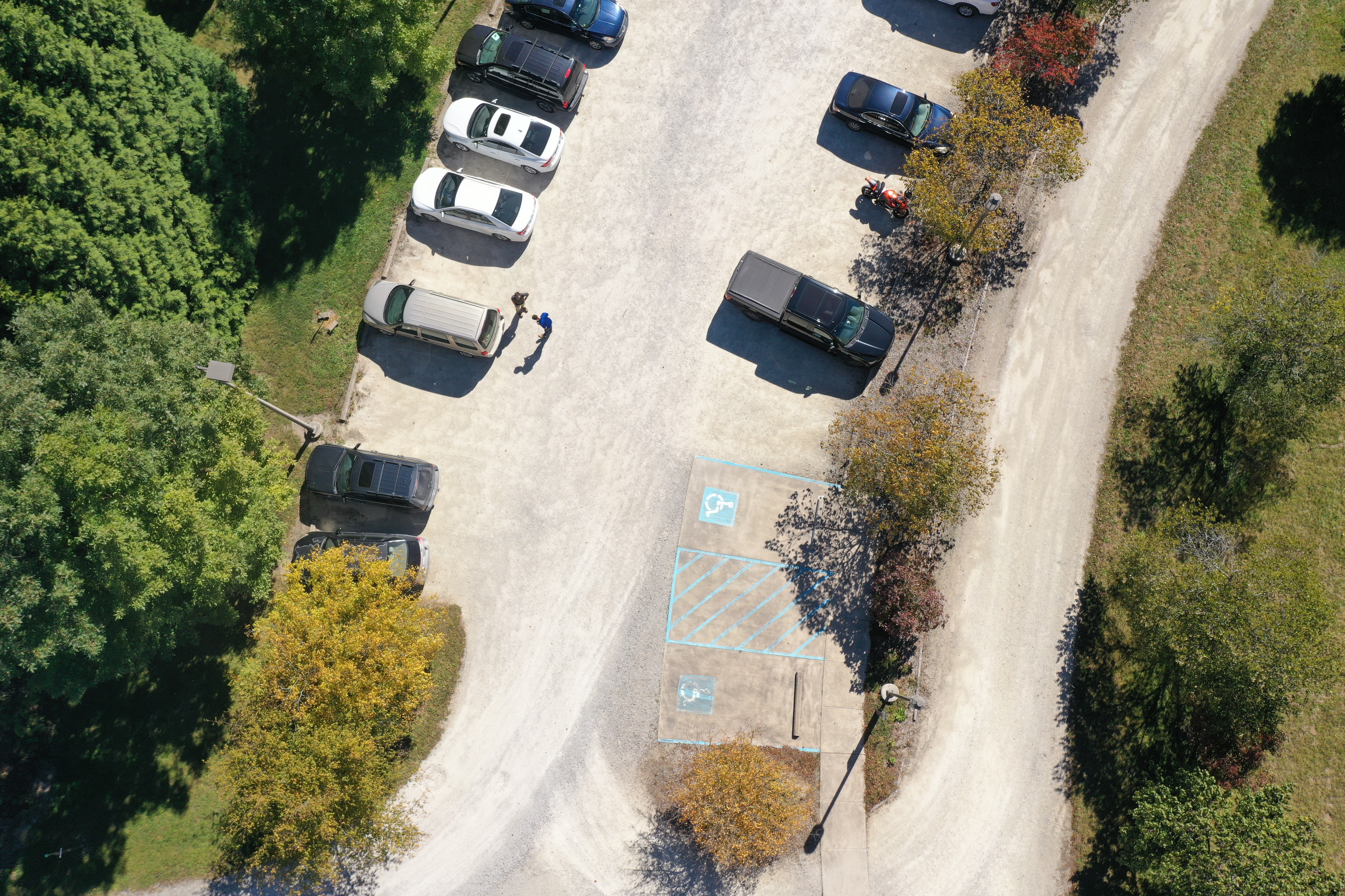
Lab 06 Pix4D Mapping II and Intro to Skydio
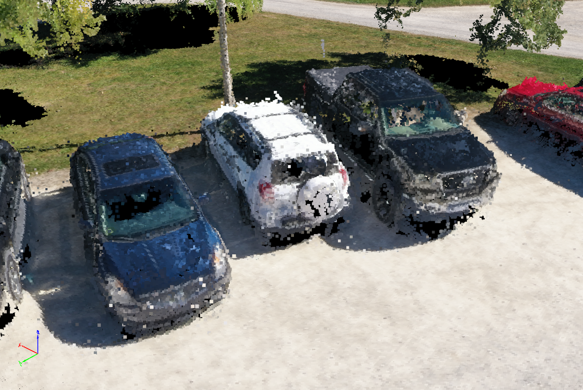
Lab 07 ArcGIS Pro
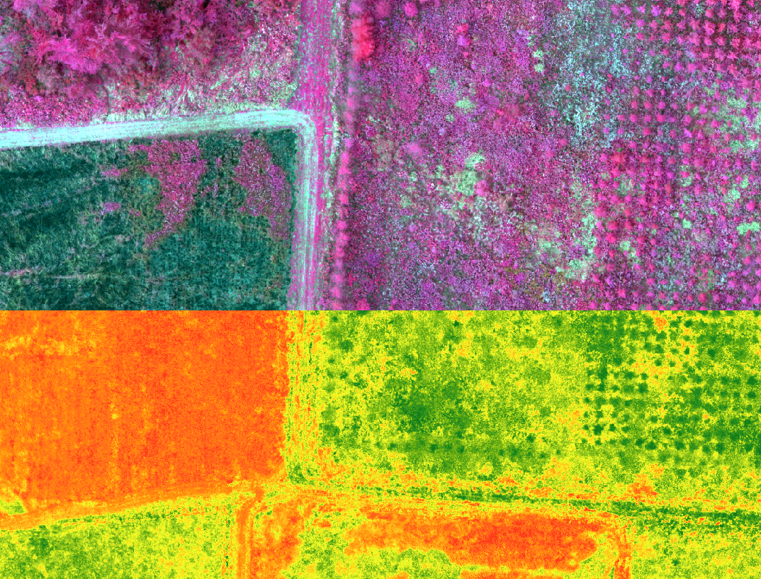
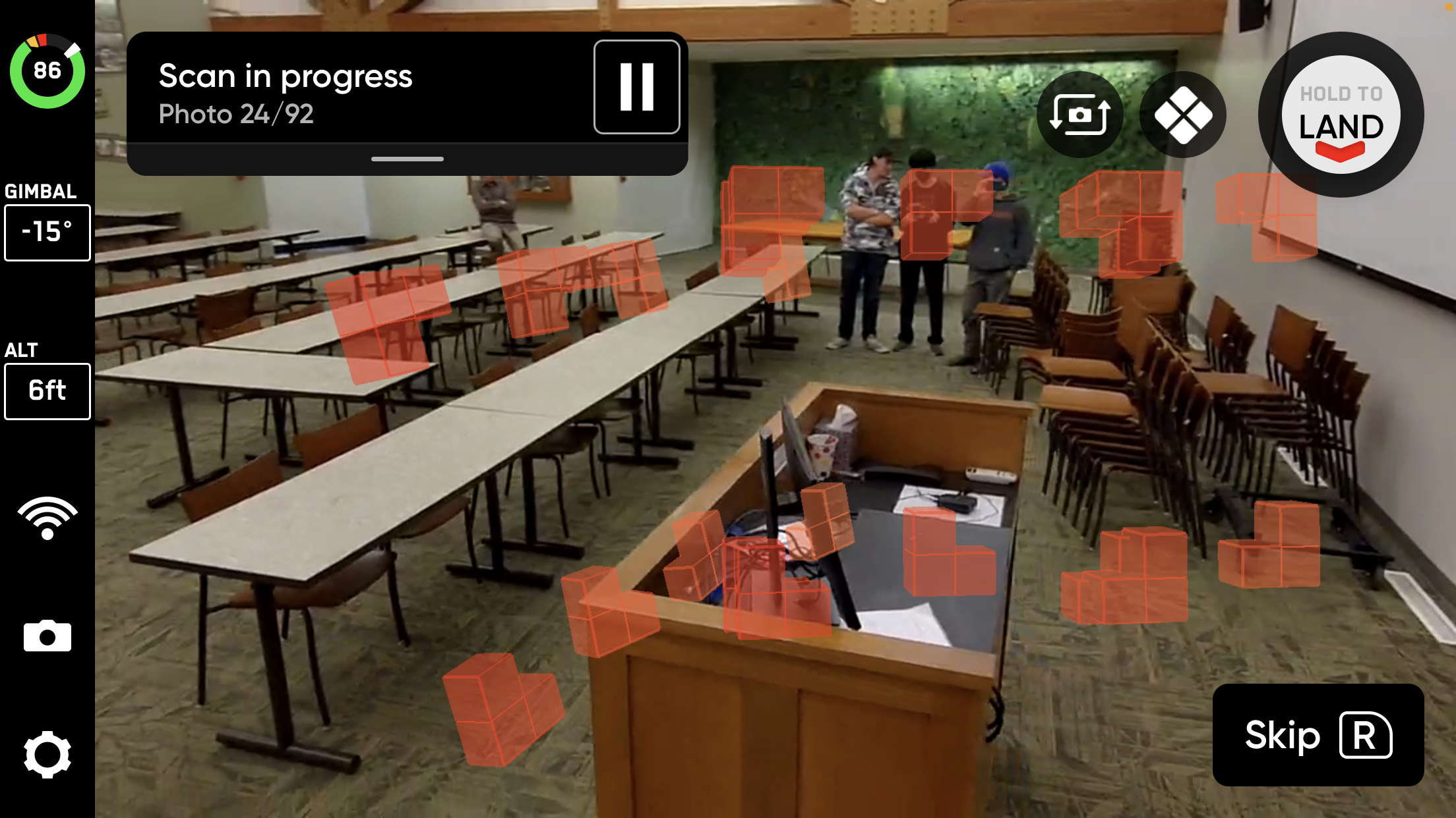
Lab 08 Skydio 2+ Enterprise Indoor Scanning
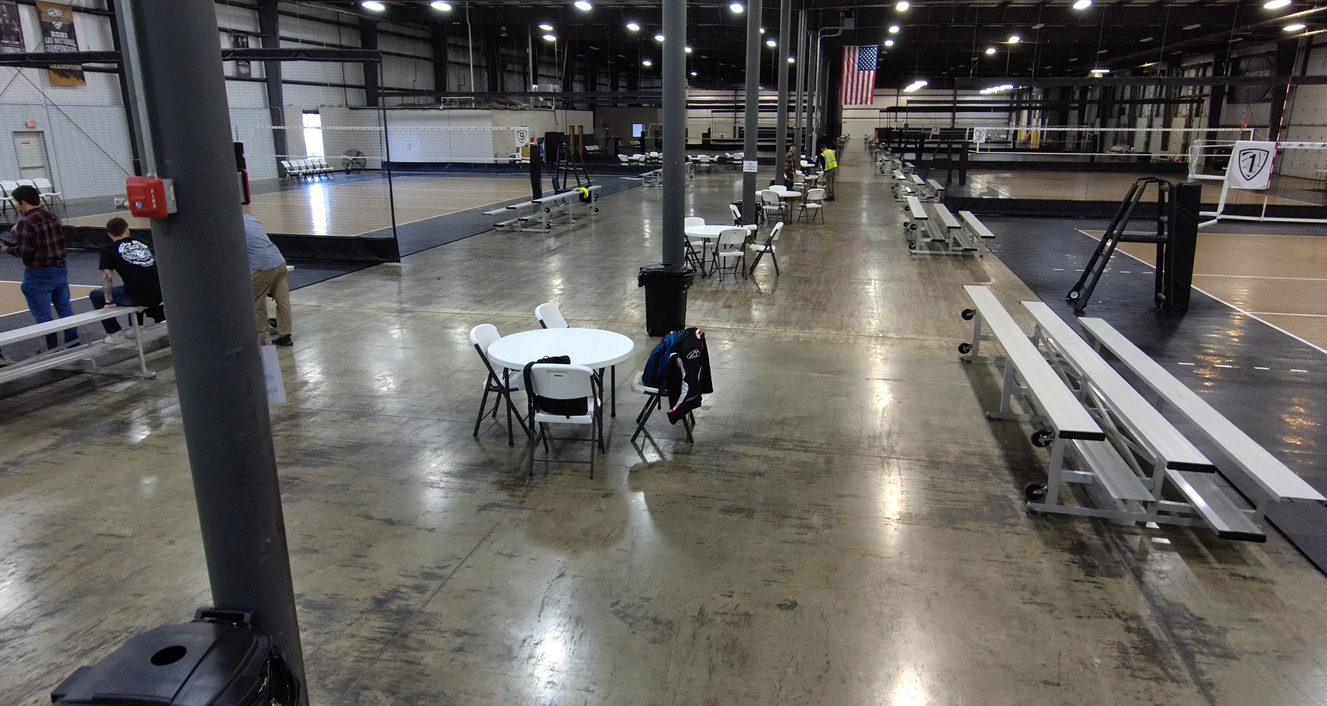
LAB 09 Volleyball Court Indoor Scanning
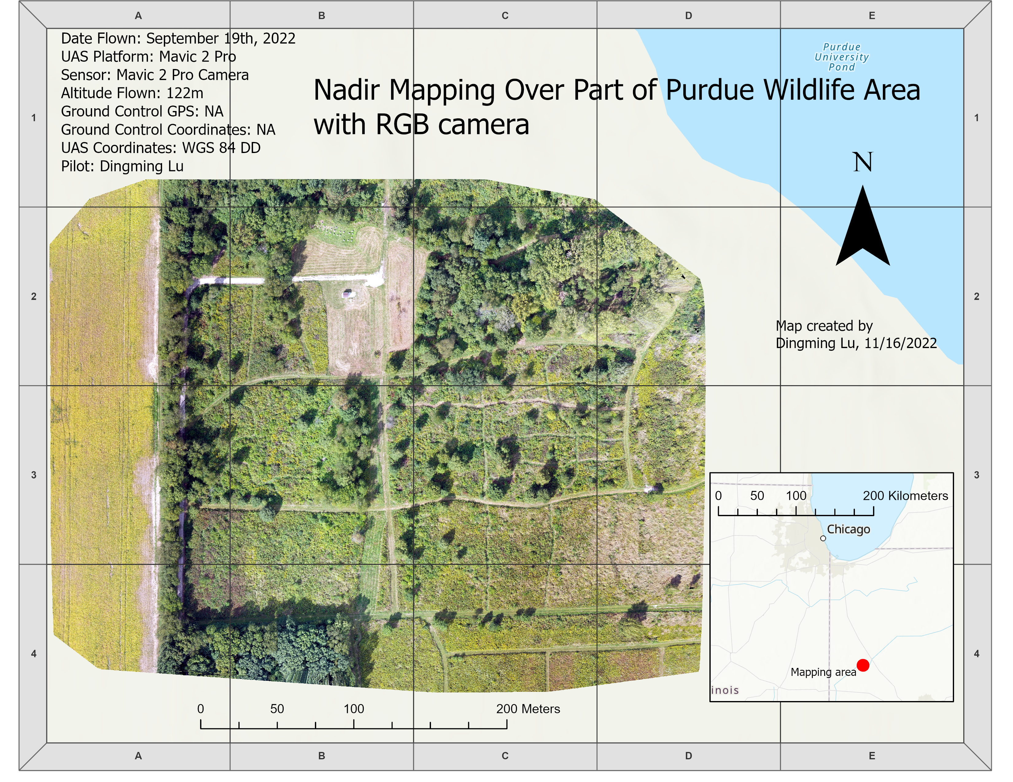
Lab 10 ArcGIS Pro Map Creation
Lab 11 Geographic Datums
