I. Intro
Date: 10/28/2021
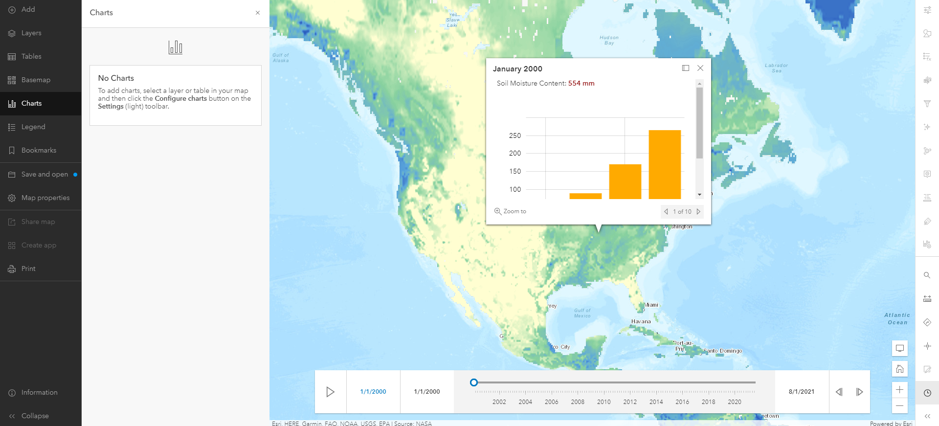
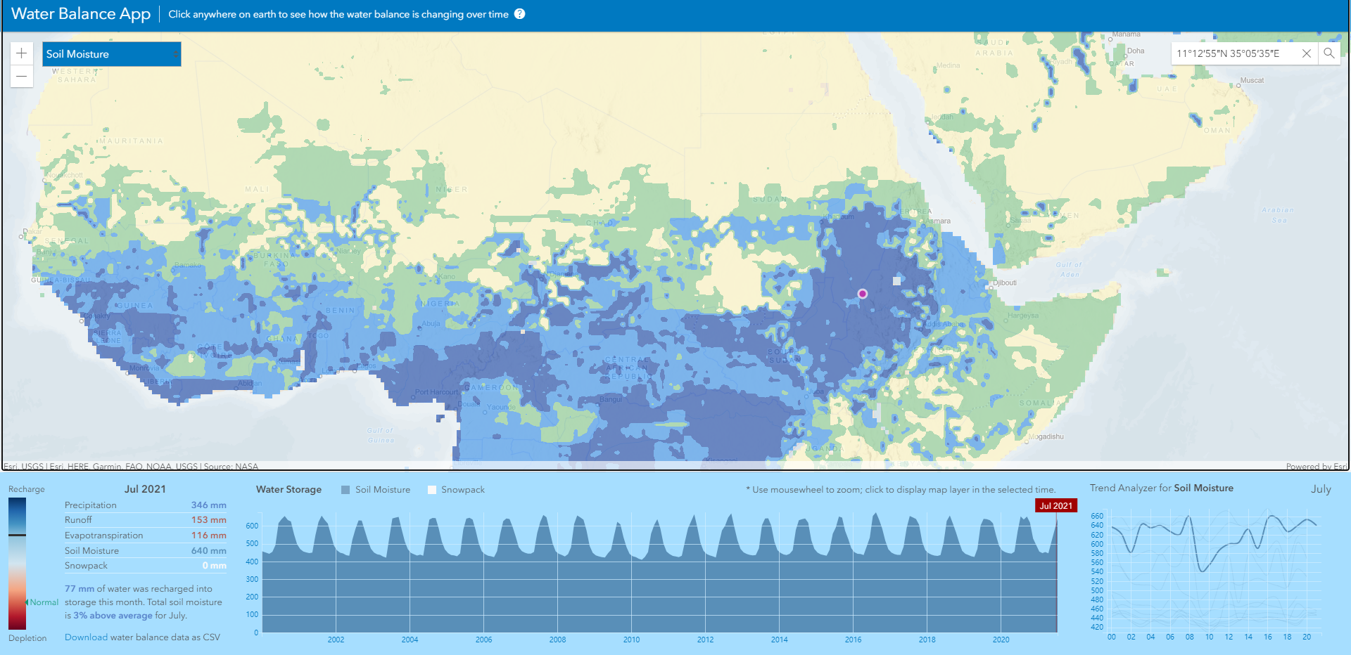
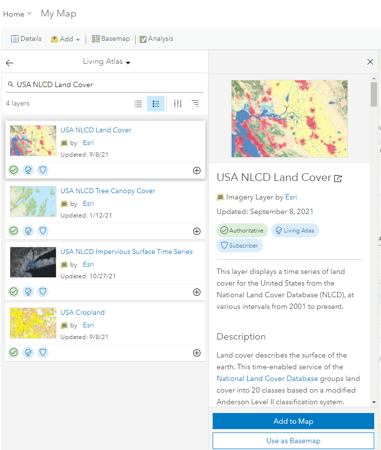
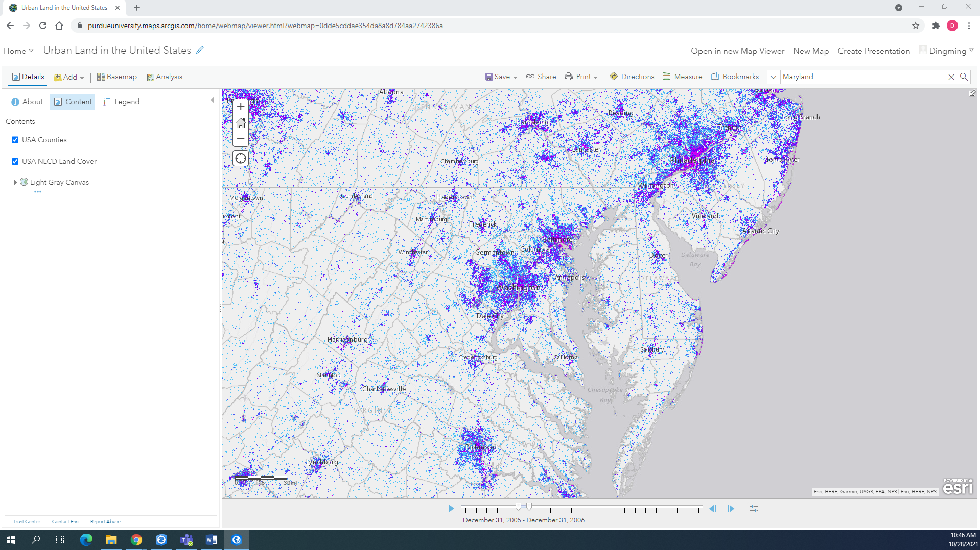
ArcGIS Living Atlas is a library or a database that contains the collection of the geographic data of our planet, the Earth. This massive database is growing continuously and is contributed by people from all over the place. ArcGIS Online is the online lite version of ArcGIS Earth. In ArcGIS Online, users can access to Living Atlas directly and work with the huge database.
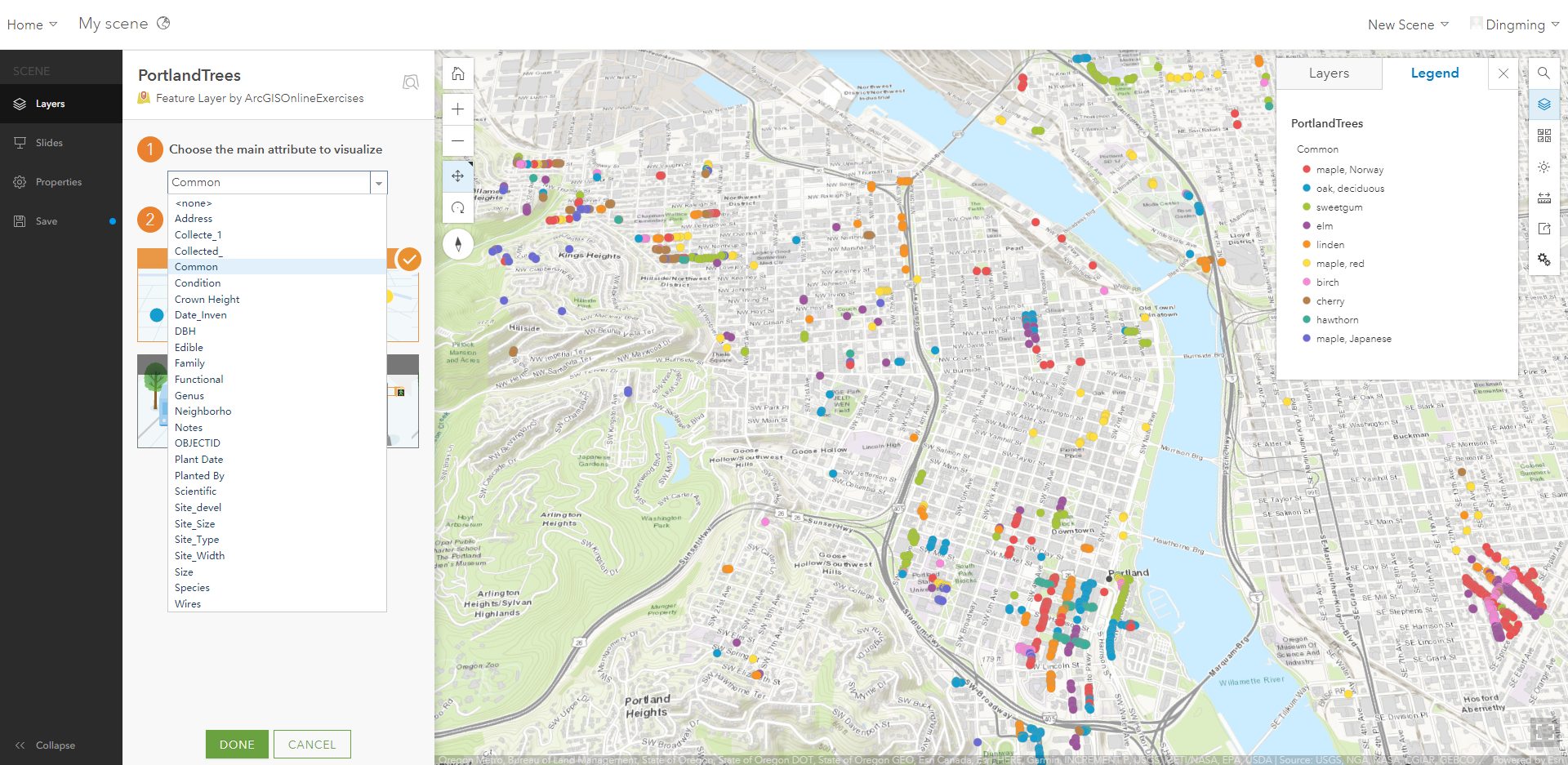
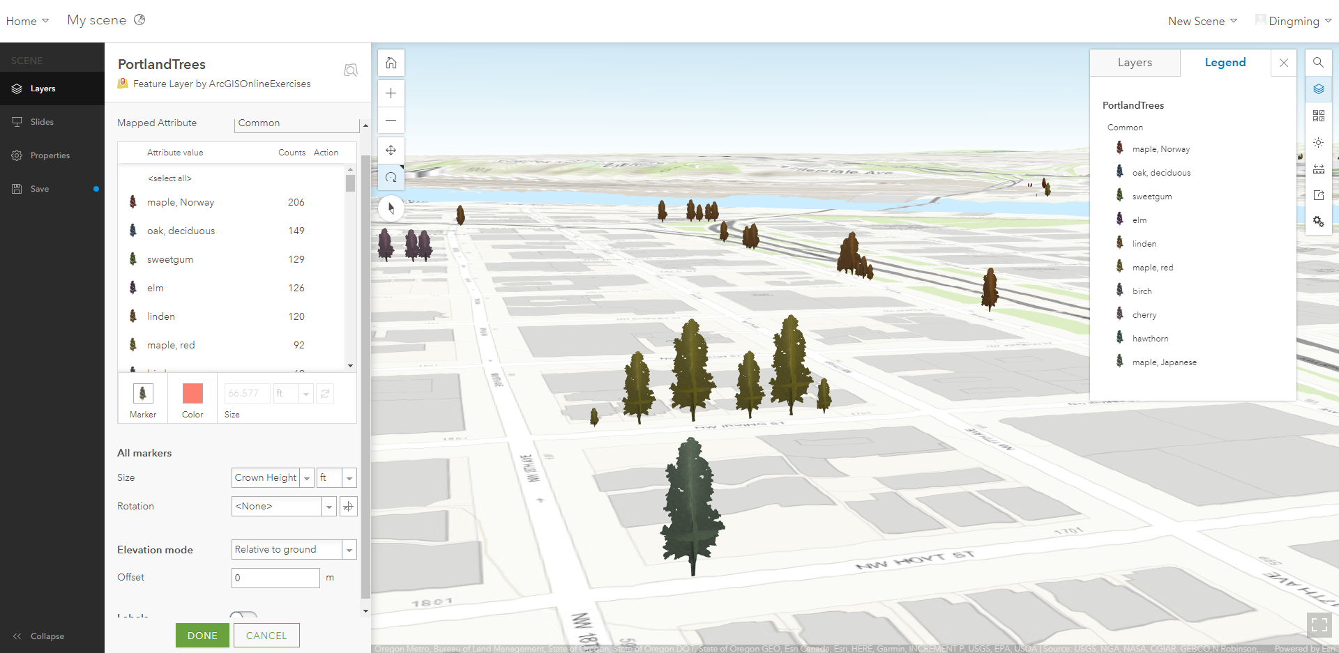
We have talked about how ArcGIS Earth can be used in UAS. For ArcGIS Online, it concentrates more on the data of the site, such as how the vegetation is distributed in a city, how the flood influences the people without a vehicle, etc. These data help us know the site better before the departure, and we can make flight plans based on those data: which place may have severe damage, which location could affect people, or when we fly in another country, we want to know if it will be a rainy season. ArcGIS Online helps us get there, but we just see and feel it in the form of data.
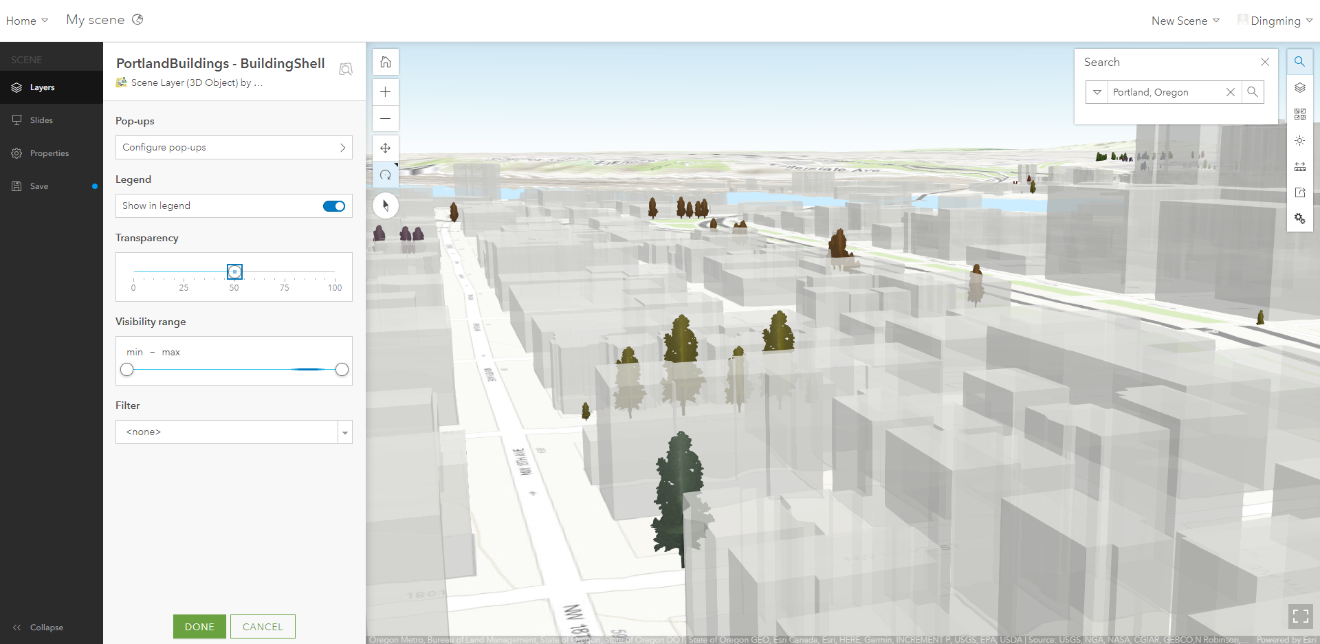
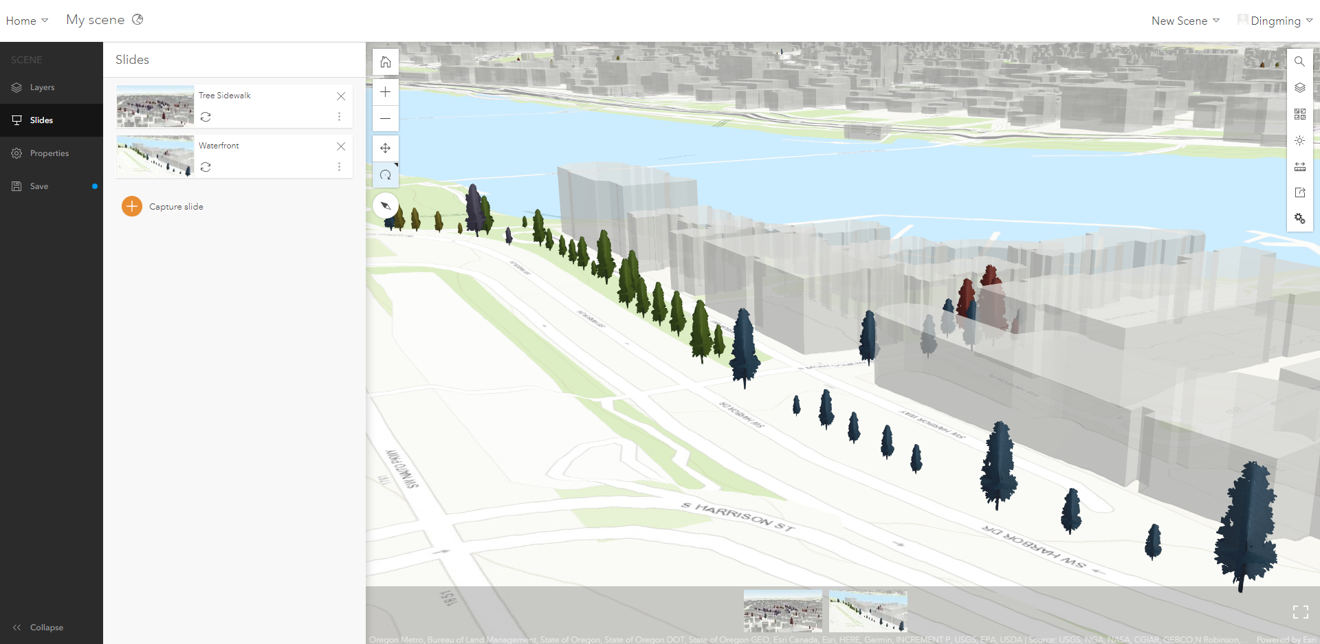
II. Tutorial Results

