Course Project: AT209 Lab 06 ArcGIS Earth

I. Intro

Date: 10/21/2021

In this lab, we are going to learn how to use ArcGIS Earth and how it is related to the UAS mission planning. ArcGIS Earth is a map software that can be very useful for UAS operators. The built-in functions, such as Draw, Measure, interactive Analysis, and map type, help the flight crew to learn about the site condition before departure. It contains the terrain information not only the latitude and longitude but also the elevation of every piece of land on Earth. 

II. Tutorial Results
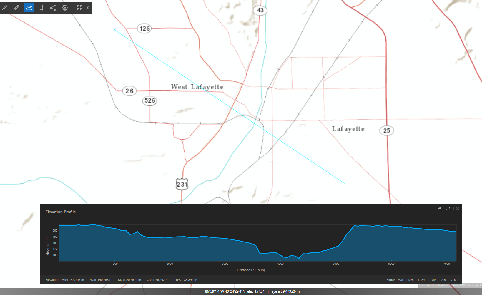
Figure 1: Elevation profile across the Wabash river valley. The elevation shown in the plot represents the elevation along the light blue straight line on the map.
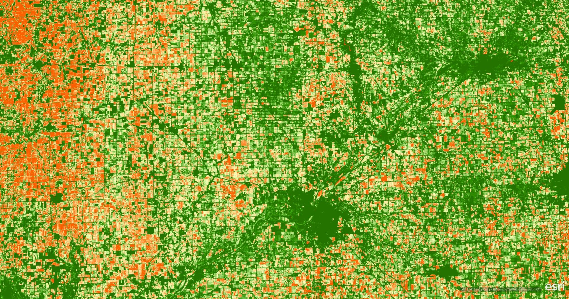
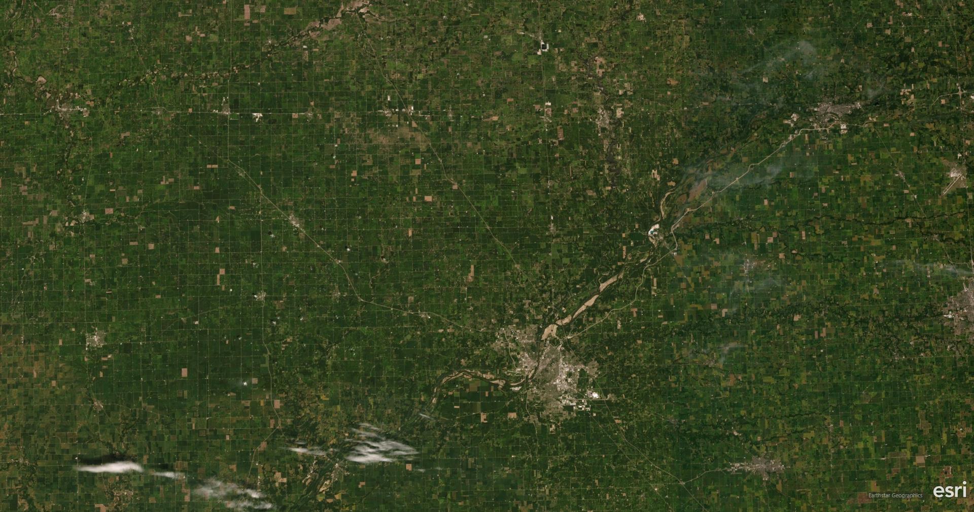
Figure 2 and 3: USA NAIP Imagery NDVI (Upper) and satellite image (Lower) near Lafayette, Indiana
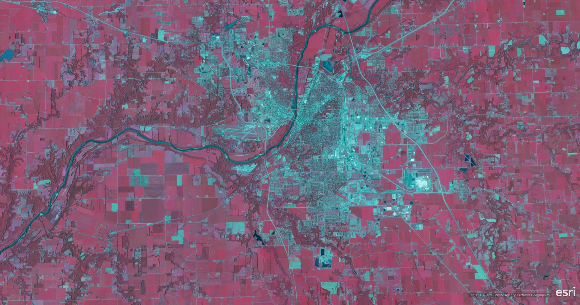
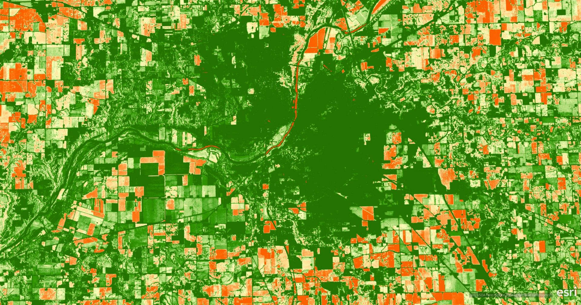
Figure 4 and 5: Color Infrared (Upper) and NDVI (Lower) at the same area. 
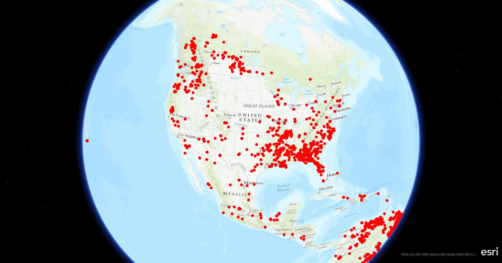
Figure 6: Figure 2.6.A: Thermal hot spots and fire activity in North America
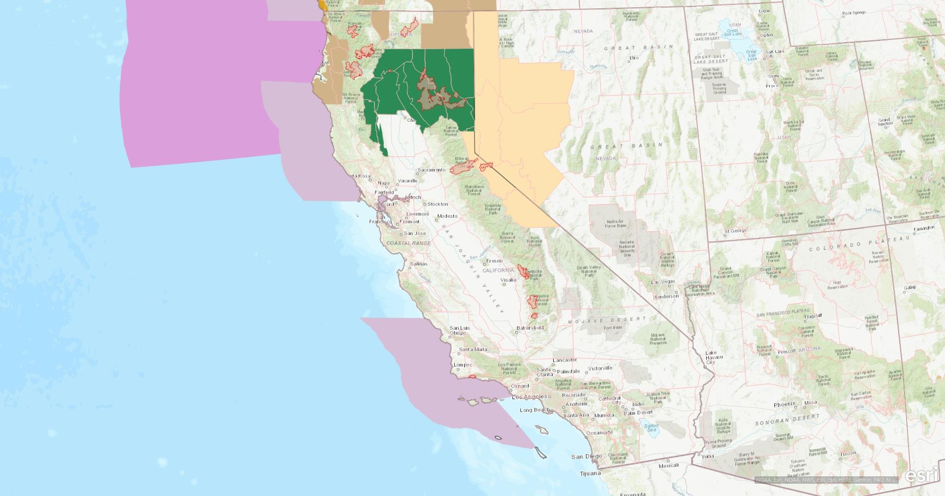
Figure 7: Wildfire activity in California
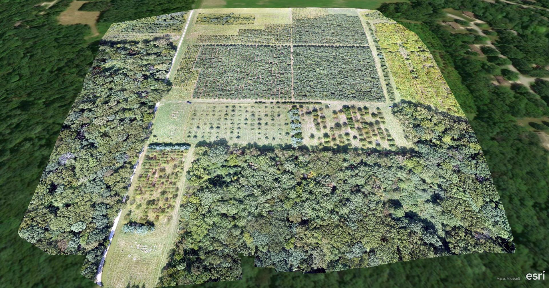
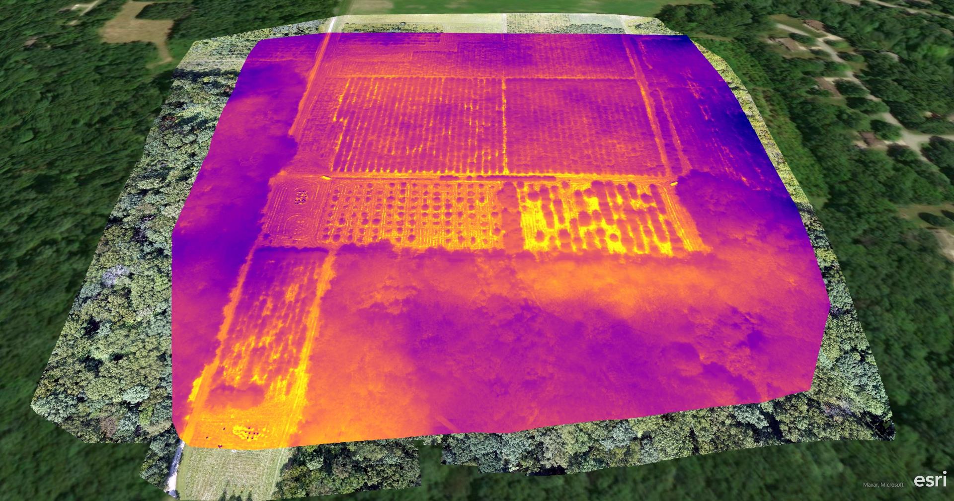
Figure 10: Zoomed in IR image at the field
Figure 10: Zoomed-in IR image at the field

Leave a Reply

Your email address will not be published. Required fields are marked *